Landslide

Landslide is the downslope movement of soil, rock and organic materials under the effects of gravity, which occurs when the gravitational driving forces exceed the frictional resistance of the material resisting on the slope. Landslides could be terrestrial or submarine (Varnes, 1978).

Landslides can be triggered by geological and physical causes such as glacier or snow melts, heavy rains and water pressure, earthquakes, volcanic eruptions and overly steep slopes. Landslides can also be triggered by human action, the most common being building on unstable slopes. Submarine landslides, or massive slides and rock falls hitting the sea can also cause tsunamis.

Landslides can reach speeds of over 50 km/h and can bury, crush or carry away people, objects and buildings. Landslides cannot be predicted but warning systems measuring rainfall levels can provide warning to people living in landslide-prone areas.

Instrumental monitoring to detect movement and the rate of movement can be implemented, for example, extensometers, global positioning system (GPS), seismometers, aerial photography, satellite images, LiDaR (Highland and Bobrowsky, 2008) with varying degrees of success. Increasingly, the science of landslide physics is allowing the nature of these hazards to be understood, which is leading to better techniques through which they can be managed and mitigated (HIP).

Risk factors

  • Population growth
  • Rapid urbanization
  • Environmental degradation (deforestation and inappropriate use of lands and slopes)
  • High population density, heavy rainfall and rapid land use changes increase the instability of slopes

Risk reduction measures

  • Early warning systems to observe and alert before landslides happen
  • Hazard maps to identify landslides risk and vulnerabilities
  • Integrate landslide risk assessment into urban planning strategies
  • Building codes and standards for materials that reinforce landslide resilience
  • Improve drainage, building tunnels and trenches to stabilize slopes
  • Protect forest cover and regulate logging
  • Raise awareness of landslide risk
  • Regular drills and community evacuation exercises
  • Establish national, regional, and local evacuation plans

Latest Land Slide additions in the Knowledge Base

Civil engineers at Monash University developed a software called GeoXPM that can predict where a disaster, like landslides, could potentially occur, their impacts on geo-structures, and suggest design changes that could avert loss of life.
Monash University
A recent disaster in China and a related study, demonstrate that landslides act as an impact multiplier, increasing the severity of the event by preventing rescues and hindering recovery.
Eos - AGU
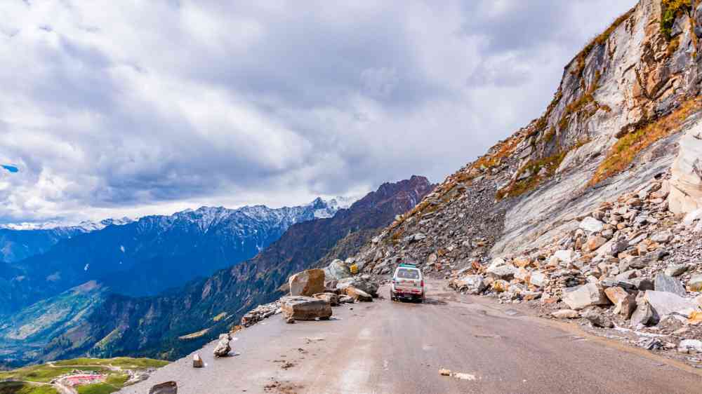
Rockfall blocks a road followin heavy rain
Detailed mapping by GNS Science and its partners is revealing the extraordinary impact of an extreme rainfall event.
American Geophysical Union
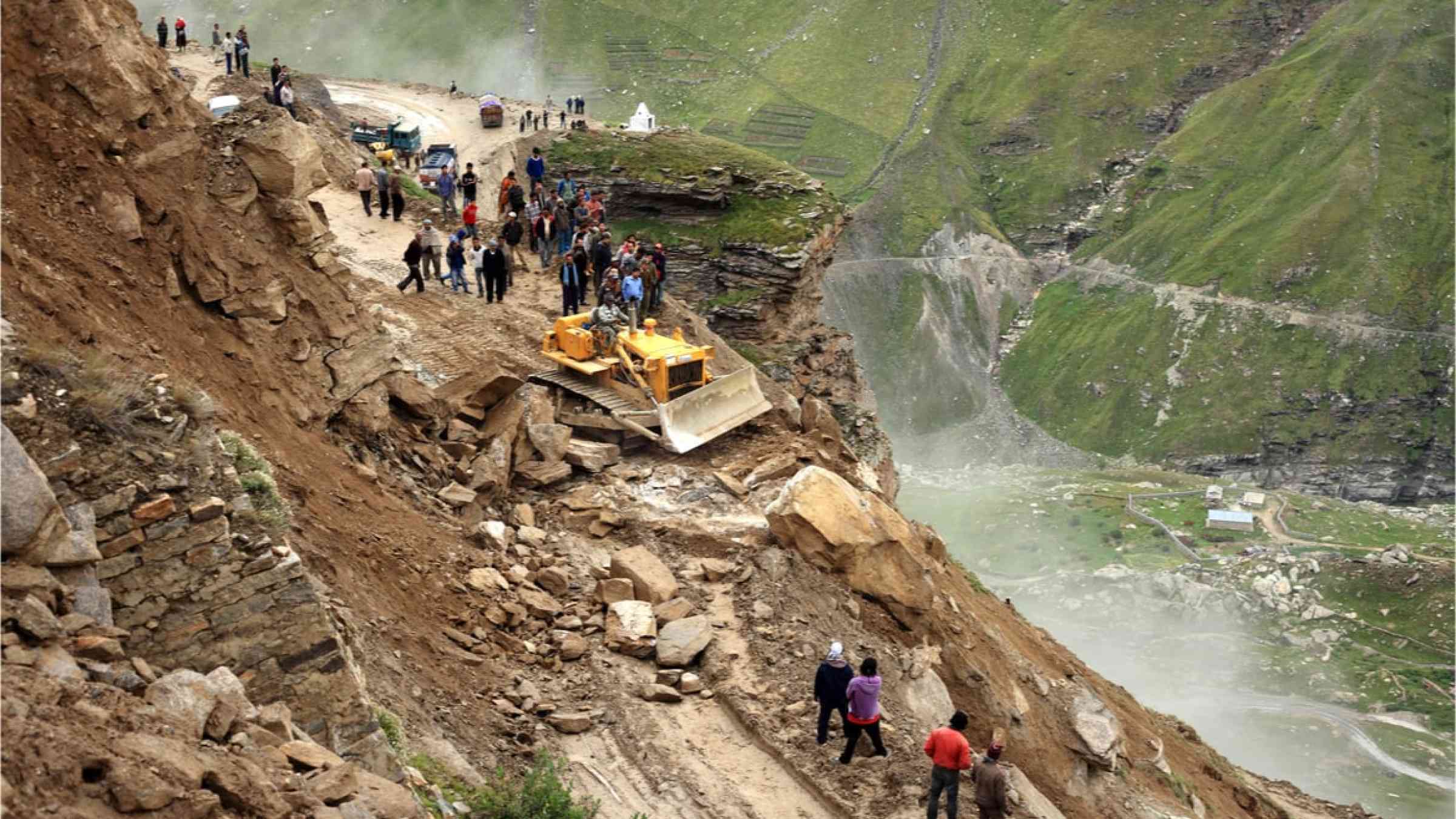
Border Roads Organization clear the road to Leh affected by landslide on August 29, 2012 in Manali, India. Landslides are regular phenomenon of this high altitude region.
InSAR paints a dynamic picture of land deformation over time by detecting minuscule ground displacements on a millimeter scale. This is especially useful in South Asia, with its rugged landscapes and rapid development in hills and mountains.
World Bank, the
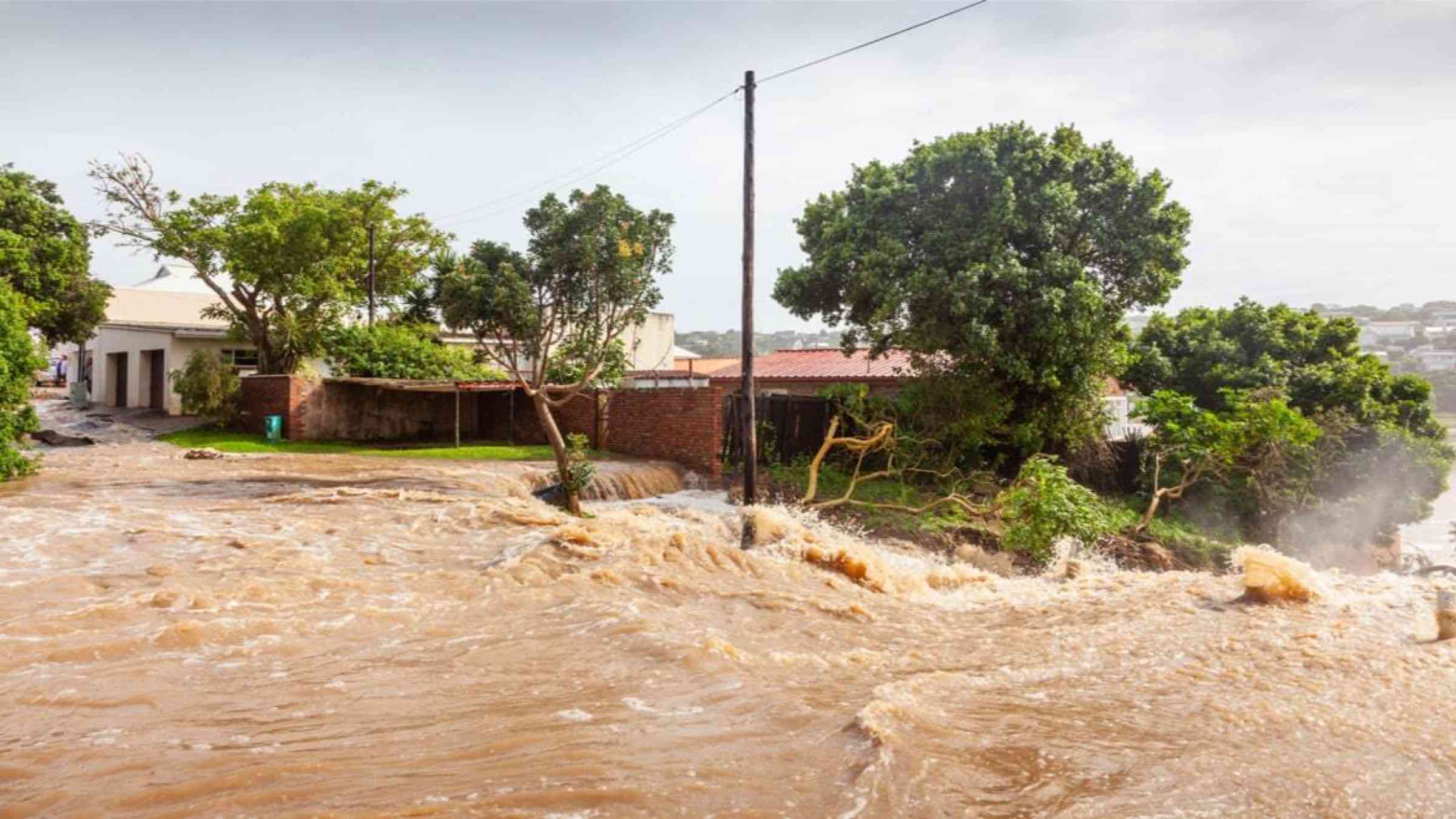
Flooded street and house in Eastern South Africa
This study finds that global warming will result in heavy rainfall, excessive heat and their combined repercussions.
American Geophysical Union
Cover
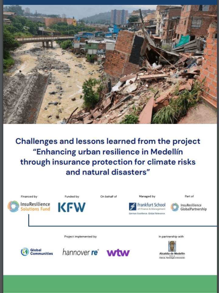
The project “Improving urban resilience in Medellín through insurance protection for climate risks and natural disasters” is an initiative established with the objective of improving the resilience of Medellín and its capacity to respond to disasters.
Cover
This article looks at how landslide intensity can be spatially modelled as a function of how many landslides occur per mapping unit. The relation between landslide count and planimetric extent can be used to generate maps to predict landslide size.
Cover
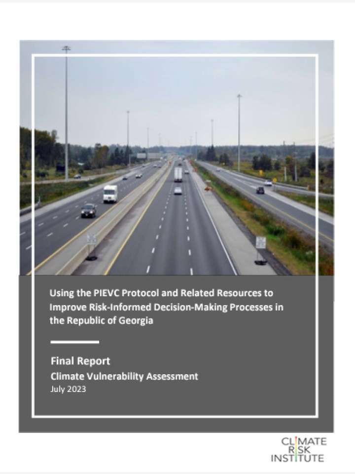
The main focus of the project was a desktop-based vulnerability assessment of road segments in a region of the Republic of Georgia particularly prone to the impacts of severe weather, especially in the form of landslide related events.

Is this page useful?

Yes No Report an issue on this page

Thank you. If you have 2 minutes, we would benefit from additional feedback (link opens in a new window).