No mountain high enough: Assessing geohazard risks using satellite technology in South Asia

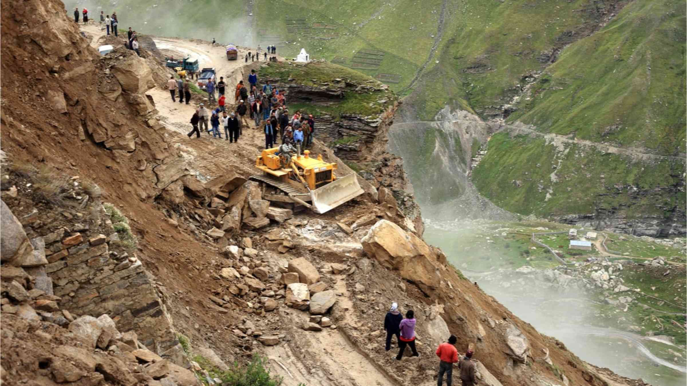
In the breathtaking terrains of South Asia, where soaring mountains and high-altitude communities coexist, the menace of landslides and their catastrophic aftermaths looms large. Imagine a technology that can identify areas at high risk of landslides and unravel the mysteries of glacial lake outburst floods, a sudden release of large amount of water due to a collapse of natural lake fed by glacier melt that can cause catastrophic flood downstream depending on the volume of water and mud released. The risk of such floods in South Asia is growing in Himalaya and Hindu Kush Region with accelerated melt of glaciers in the face of climate change.
Introducing InSAR (Interferometric Synthetic Aperture Radar), a cutting-edge satellite innovation poised to revolutionize geohazard risk management in South Asia’s mountains.
InSAR, utilized in practice in many other parts of the world, paints a dynamic picture of land deformation over time by detecting minuscule ground displacements on a millimeter scale. With its regular and spacious monitoring capacities, it offers new cost-effective solutions for assessing the risks posed by landslides and glacial lake outburst floods that originate from high mountains which are difficult to reach for field inspections and monitoring. This is especially useful in South Asia, with its rugged landscapes and rapid development in hills and mountains.
From Bhutan to Nepal: real-world success pilots
A landmark pilot in Reotala in Bhutan, where frequent landslides wreak havoc on roads, illuminates the potential of InSAR. Collaborating with the Bhutan Department of Roads and Japan International Cooperation Agency, the World Bank team harnessed InSAR to pinpoint high-risk zones. Utilizing the World Bank’s InSAR analysis, the team identified high-risk zones and installed on-the-ground tilt sensors, and tracked a landslide triggered by intense rainfall. This dynamic, hybrid approach showcased a cost-effective synergy between satellite technology screening to identify high-risk areas and field observations, increasing reliability of risk assessment by expert onsite inspection and monitoring.
In Nepal, the devastation caused by the Melamchi flood in 2021 underscored the perils of glacial lake outburst floods. Using InSAR, the World Bank provided critical support post-disaster by analyzing land deformation in the Melamchi watershed including the area near Pemdan lake, the collapsed dry glacial lake, at an altitude of about 4,700 meters, inaccessible by foot. The analysis revealed rapid soil depositions and erosions in the days around the disaster, emphasizing the potential of InSAR application in predicting catastrophic events by anomaly monitoring of high-mountain regions where field monitoring is virtually impossible.
A path forward: strengthening landscape resilience
The successful InSAR pilots from Bhutan, and Nepal, are not isolated incidents. They are part of a larger program on Building Resilience to Landslide and Geohazard risk in the South Asia Region funded by the Global Facility for Disaster Reduction and Recovery and the European Union. Workshops in Sri Lanka, Nepal, and New Zealand have brought together experts and practitioners from South Asia to exchange knowledge and experience on geohazard risk management. Other game-changing technologies like machine learning, online mapping platform for road asset management, drone surveys and 2D flood modeling were introduced. There was also collaboration with the European Space Agency’s EO4SD program through another InSAR analysis in Bhutan.
The success of these pilot projects demonstrates a growing appetite in the region to scale up the use of these disruptive technologies, along with enhancing the capacity of government and local experts, to reduce risks from geohazards. Countries grappling with inaccessible mountains and looming geohazards can now harness the power of InSAR, drones, and other technologies to fortify their resilience in a world where climate change is intensifying natural hazards. InSAR and its allied technologies stand as beacons of innovation, illuminating a path to a safer and more resilient future for the landscapes of South Asia. The journey has just begun, and the possibilities are boundless.