Beyond coordination, a national database could help Australia more fairly distribute bushfire management resources and facilitate the sharing of expertise, equipment and systems.
The toxic exposures didn’t begin with the flames. Researchers are examining how fires impacted a community already harmed by plantation agriculture, development, and colonialism.
A 20-year study found that global exposure to wildfires and heat waves occurring on the same days rose by 287 million from 2000 to 2019, with over half the world’s population experiencing these combined events.
An Indian Institute of Technology Madras (IIT Madras)-led international study has found that atmospheric air pollution could play a critical role in improving the forecasting of rainfall and urban floods.
A study of doctors’ experiences during the 2023 Türkiye earthquakes highlights gaps in disaster preparedness and calls for practical training, psychological support and policies that recognize healthcare workers may also be disaster survivors.
A study of 465 cities across 107 countries reveals global land subsidence trends from 2014 to 2023, identifying hotspots including Mexico City and several Asian cities. The findings highlight the need for continued monitoring and targeted action.
Researchers developed advanced deep learning models incorporating attention mechanisms to identify important patterns in rainfall and river flow data, then combined the models’ predictions using a fusion approach to improve flood forecasting accuracy.
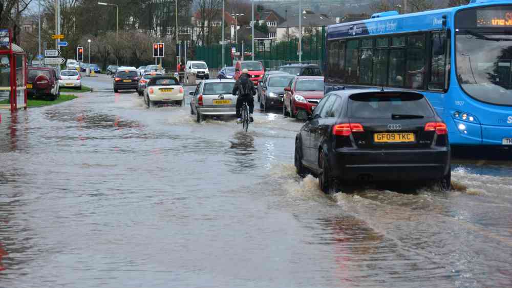
Study finds built-up areas potentially exposed to flooding in Nepal and neighbouring river catchments grew by 46% between 2016 and 2023. Rising exposure in valleys highlights the need to integrate disaster risk into land-use and infrastructure planning.
An international study reveals that the unprecedented heat stress of 2023–2024 will likely recur in the coming decades unless emissions are reduced. The Amazon is the most vulnerable region.