Risk identification and assessment

A qualitative or quantitative approach to determine the nature and extent of disaster risk by analysing potential hazards and evaluating existing conditions of exposure and vulnerability that together could harm people, property, services, livelihoods and the environment on which they depend.
Latest Risk identification and assessment additions in the Knowledge Base

Cover
The aim of this study was to explore client and care worker risks and preparedness for cold weather, with a view to identifying mitigations and incorporating these into advice and cold weather planning.
A study titled “Diagnostic on Climate and Disaster Risk Management in Algeria” provides the country disaster and climate risk profile, estimates the macro-economic impacts of disasters, and evaluates Algeria’s current disaster risk management efforts.
World Bank, the
As climate change progresses, many predictions of what will happen are based on climate, rather than weather, meaning that an atmospheric river-like event can totally upend expectations.
Bulletin of the Atomic Scientists
The United Arab Emirates (UAE) and the northern parts of Oman were hit by exceptionally heavy rainfall causing massive disruption in infrastructure and public life in the area and leading to at least 20 fatalities in Oman and four in the UAE.
World Weather Attribution
The results, published in the journal Earth’s Future, suggest significant and widespread effects on air quality, climate, health, and economics under the most extreme wildfire scenarios.
Hokkaido University
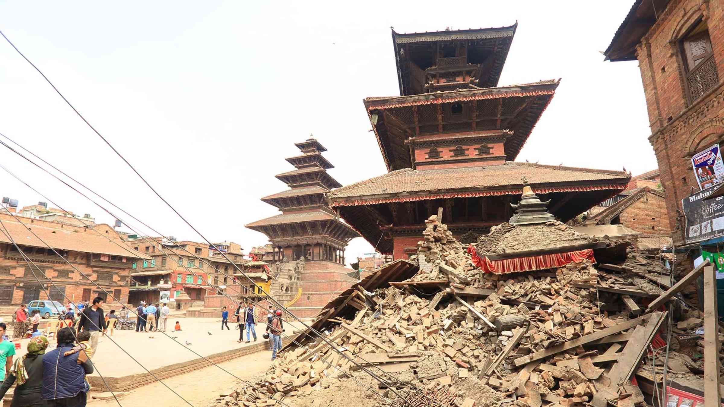
Nepal earthquake 2015 damaged buildings
Across the Asia Pacific, region infrastructure and homes are rising up in seismically sensitive areas with governments seemingly reluctant to enforce safety codes for fear of slowing down development activity.
Science and Development Network
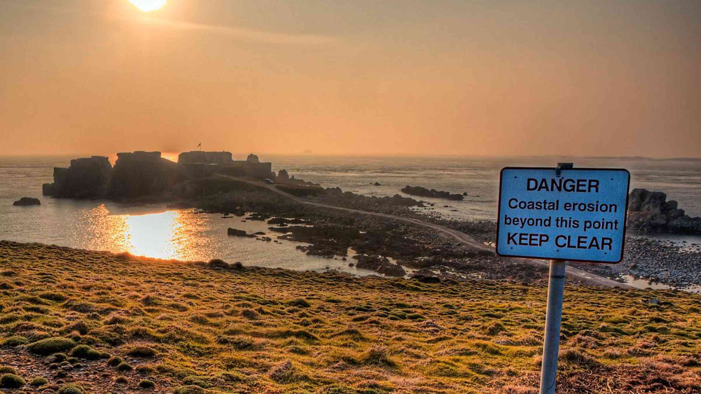
Danger - coastal ersion
Researchers in North Carolina have created a coastal evolution model to analyze how coastal management activities on barrier islands, meant to adapt to sea-level rise, interact with natural processes that would otherwise keep barrier islands above water.
Duke University
Publication cover
In this study, the focus was on analyzing and predicting flood-prone areas in the Söğütlü stream watershed using a GIS-based MSCA decision analysis.

Is this page useful?

Yes No Report an issue on this page

Thank you. If you have 2 minutes, we would benefit from additional feedback (link opens in a new window).