Risk identification and assessment

A qualitative or quantitative approach to determine the nature and extent of disaster risk by analysing potential hazards and evaluating existing conditions of exposure and vulnerability that together could harm people, property, services, livelihoods and the environment on which they depend.
Latest Risk identification and assessment additions in the Knowledge Base

Cover
This paper provides an empirical illustration of this trap using the example of flash flood risk in Kuwait and shows how decisions on urban planning and economic restructuring have increased flash flood risk.
Cover
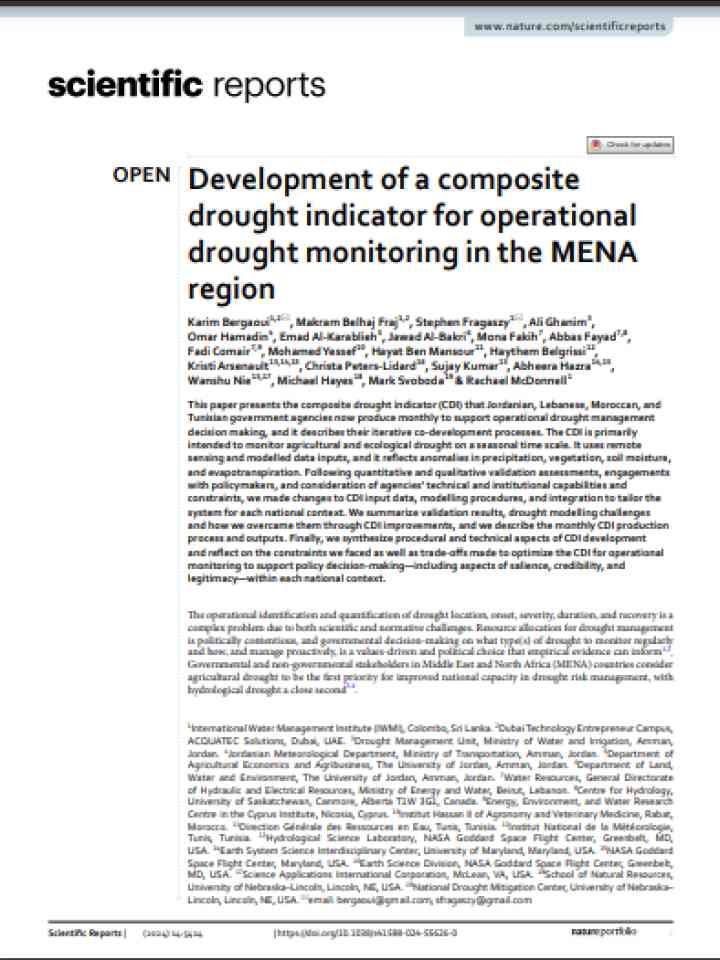
This paper presents the composite drought indicator (CDI) that Jordanian, Lebanese, Moroccan, and Tunisian government agencies now produce monthly to support operational drought management decision making.
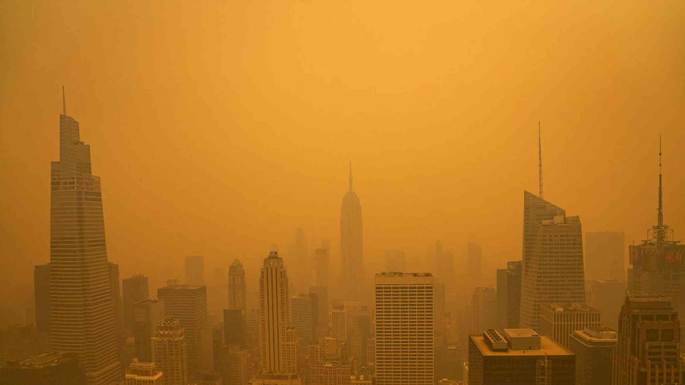
New York - wildfire smoke, June 2023
Canada’s warmest ever winter, with low to non-existent snowpack in many areas and ongoing drought. is raising fears that this summer will see more of Canada’s forests and wildland urban interface go up in flames.
Yale Climate Connections
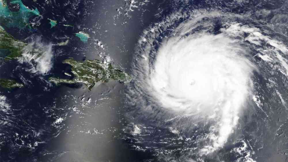
Hurricane Irma traverses the Eastern Caribbean in this satellite view
One of the big contributors to the record-breaking global temperatures over the past year – El Niño – is nearly gone, and its opposite, La Niña, is on the way. Whether that’s a relief or not depends in part on where you live.
Conversation Media Group, the
Aerial view of an azure sea with coral reef in the Caribbean
Despite the growing significance of climate exposure in influencing financing conditions, there needs to be more focus on particularly vulnerable countries which already faces high levels of debt and limited capacity.
Inter-American Development Bank (IDB)
A new model combines wildfire smoke forecasts and data from ground-based sensors to help public health officials plan targeted interventions in areas most at risk for the negative health effects of unexpected smoke events and air pollution.
Pennsylvania State University
Scientists and water managers use many types of data to predict flooding. This year they have a new tool at their disposal: freshwater data from the Surface Water and Ocean Topography (SWOT) satellite.
National Aeronautics and Space Administration
Yosemite National Park in Winter, California-USA
Researchers report that episodes of heavy snowfall and rain likely contributed to a swarm of earthquakes over the past several years in northern Japan. The study is the first to show that climate conditions could initiate some quakes.
MIT News, Massachusetts Institute of Technology

Is this page useful?

Yes No
Report an issue on this page

Thank you. If you have 2 minutes, we would benefit from additional feedback (link opens in a new window).