Remote sensing offers better forecasting of riverine floods
This note explains research that is integrating remote sensing data on soil moisture and flood extent with rainfall and runoff models, which will lead to more accurate flood predictions. The research aims to develop a remote sensing-aided methodology that can eventually enable forecasting models that predict the volume of water entering the river network to be applied anywhere in Australia.
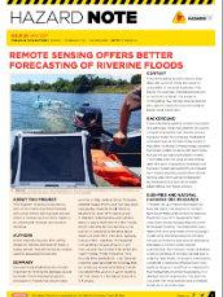
This research is being conducted as part of the Improving flood forecast skill using remote sensing data project, which is increasing Australia’s capacity to understand, forecast and monitor flooding.
Explore further
Hazards
Flood
Themes
Data and information management
Risk identification and assessment
Space and aerial technology
Water
Country and region
Australia
Number of pages
2 p.
Publication year
2017