New USGS research highlights the use of earthquake science for assessing risk to gas pipelines
A new research study led by U.S. Geological Survey scientists assesses the risk from earthquakes to the Nation’s Gas Transmission Pipelines.
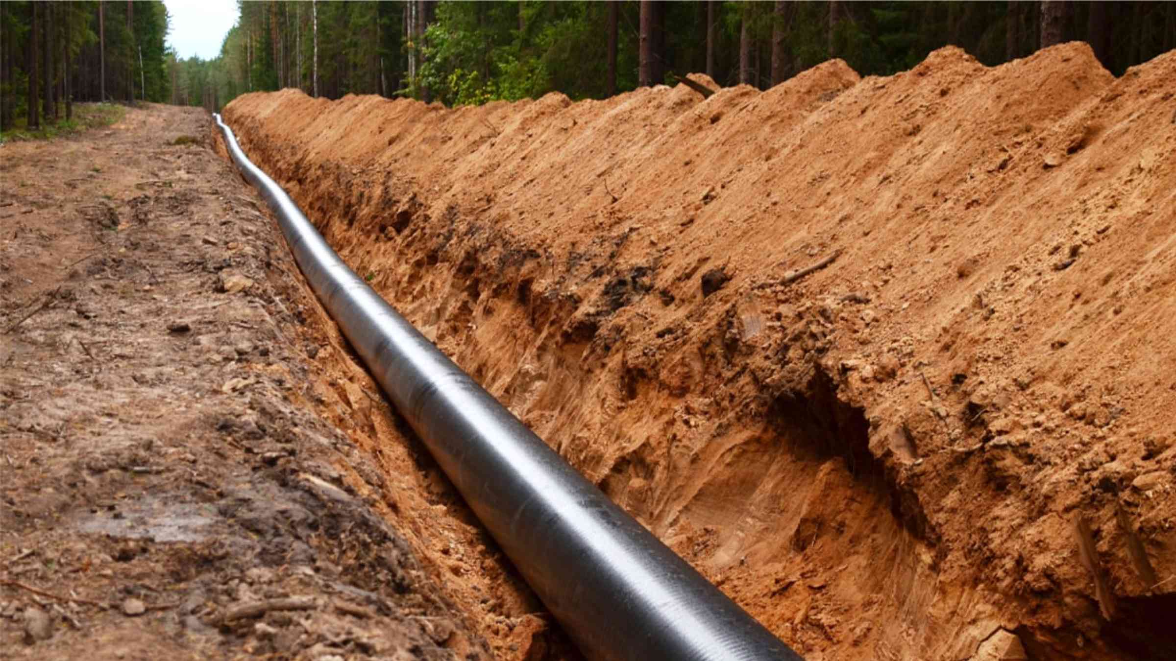
A new study from the USGS in the ASCE-ASME Journal of Risk and Uncertainty in Engineering Systems, “Earthquake Risk of Gas Pipelines in the Conterminous United States and its Sources of Uncertainty,” highlights the need to continue efforts to systematically quantify nationwide earthquake risk to gas pipelines in the United States, which manages the largest gas pipeline network in the world. Unlike water and wastewater pipelines, the gas pipeline network is largely owned and managed by private operators, pursuant to regulations from the Pipeline and Hazardous Materials Safety Administration (PHMSA). Since most gas pipelines are buried several meters below the ground surface, they are vulnerable to the compounding effects of an earthquake.
USGS: Start with Science
The USGS works with a variety of partners and stakeholders to monitor, assess and conduct research on an extensive range of natural hazards. USGS science provides policymakers, emergency managers and the public data and information needed to enhance community preparedness, response and resilience. By identifying potential hazard scenarios and using USGS hazards science, federal, state and local agencies can mitigate risk to individuals, families and communities.
Earthquake hazards are a national risk, with nearly half of Americans living in areas prone to potentially damaging earthquakes. The USGS provides information and tools to support earthquake loss reduction nationwide. For example, USGS science can inform investments to improve critical infrastructure like utility pipelines and make communities safer and more resilient.
Gas Pipeline Infrastructure
The U.S. manages the largest pipeline network in the world, comprising 2.6-million miles. This pipeline transportation system is regulated by the PHMSA, a federal agency under the U.S. Department of Transportation, which establishes national policy, sets and enforces standards, provides education and conducts research to prevent incidents. Gas pipelines are vulnerable to the compounding effects of an earthquake, such as strong shaking, fault ruptures, landslides and liquefaction. The assessment and subsequent mitigation of earthquake-related risk to gas pipelines remains an active area of research.

Sources/Usage: Public Domain.
Geographic distribution of Average Annual Loss (AAL) for gas transmission pipelines in the conterminous US from earthquake induced shaking, based on specific models as listed in Kwong et al. 2021. The county-level map shown here highlights the areas that contribute the most to overall AAL and may help identify areas for more comprehensive analyses.
USGS Assessment of Risk
Leveraging publicly available data on gas pipelines (e.g., incident data from past earthquakes) and information collected by National Pipelines Management System of PHMSA, the USGS study developed a first-order assessment of earthquake risk to gas transmission pipelines in the conterminous U.S. caused by strong ground shaking.
“To quantify the risk and its associated uncertainties, we systematically integrated the latest USGS National Seismic Hazard Model, a logic tree-based exposure model, three different vulnerability models, and a consequence model,” said Dr. Neal Simon Kwong, a Mendenhall Post-Doctoral Researcher and a lead author of this study.
The results enable comparisons against other risk assessment efforts, encourage more transparent deliberation regarding alternative approaches – such as characterizing displacement demands or alternate models to evaluate leaks or breaks – and facilitate decisions on potentially assessing localized risks due to ground failures that require site-specific data.
“USGS science remains critical to systematically evaluate both short- and long-term risks posed from natural hazards such as earthquakes, and it has the potential to help identify areas of high risk and prioritize large-scale infrastructure investments to mitigate risks,” said Dr. Kishor Jaiswal, USGS research structural engineer based at the USGS in Golden, Colo.