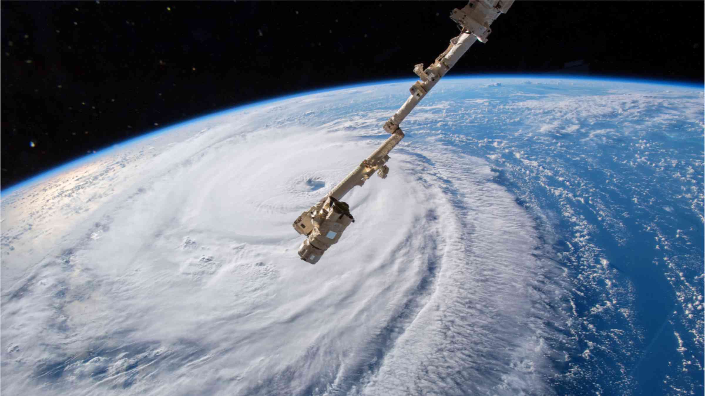
Space and aerial technology
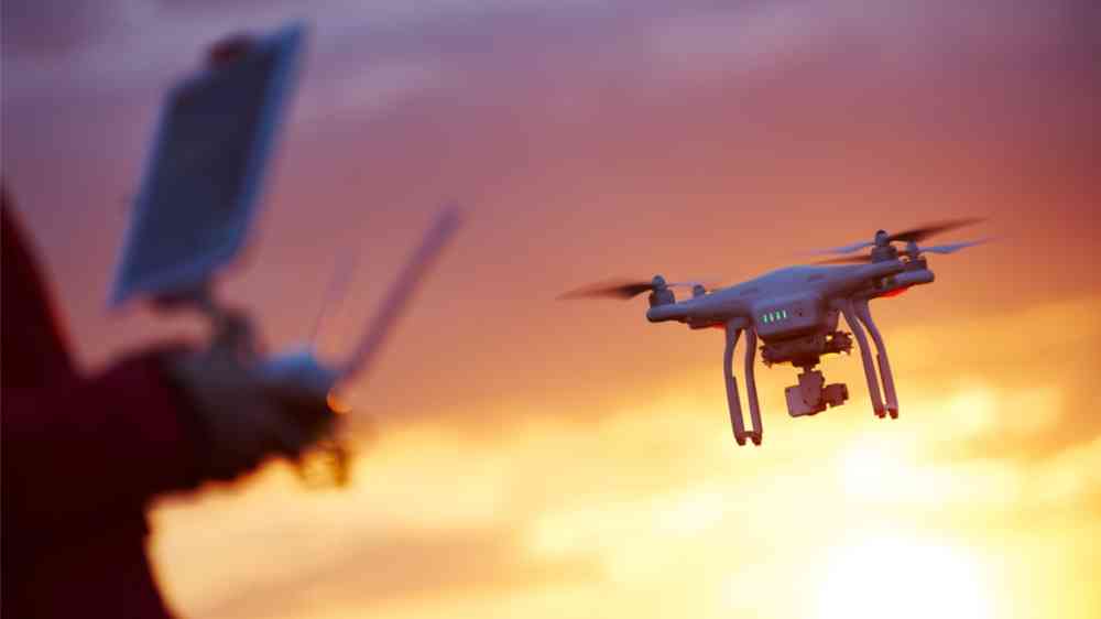
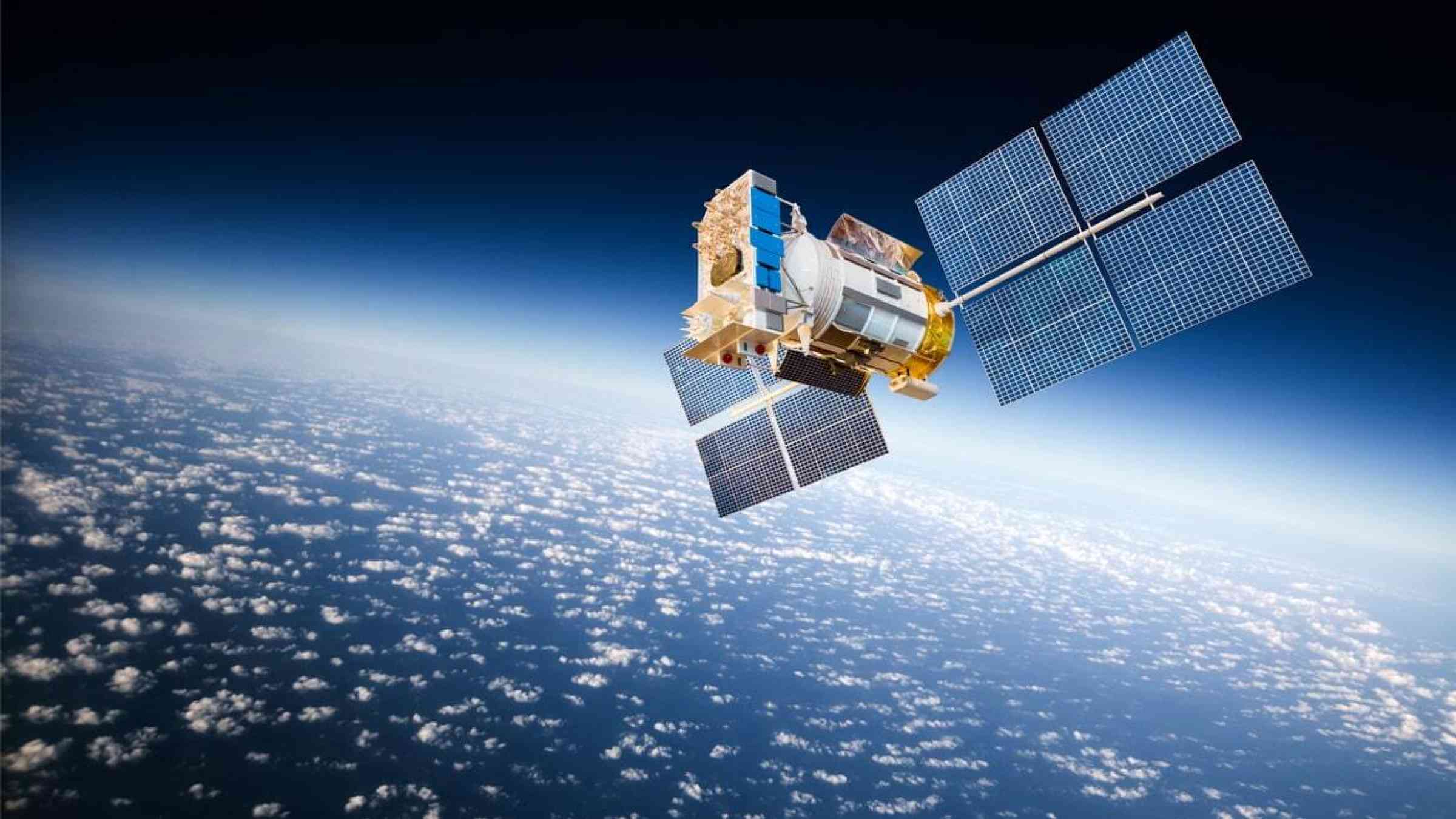
Use of space-based and aerial technologies such as satellite communications, remote sensing and drones to improve disaster management and collect data for disaster risk reduction (DRR).
Please help us improve PreventionWeb by taking this brief survey. Your input will allow us to better serve the needs of the DRR community.
Use of space-based and aerial technologies such as satellite communications, remote sensing and drones to improve disaster management and collect data for disaster risk reduction (DRR).
Thank you. If you have 2 minutes, we would benefit from additional feedback (link opens in a new window).