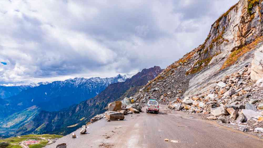
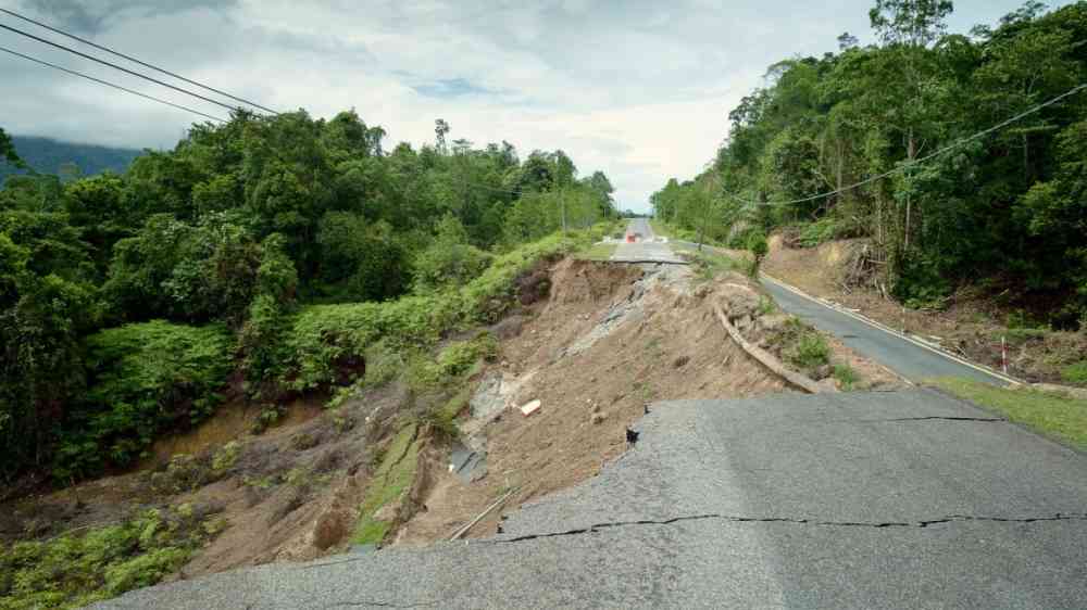
Landslide

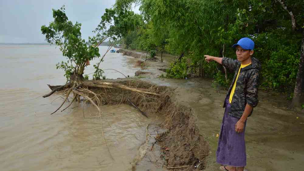
Landslide is the downslope movement of soil, rock and organic materials under the effects of gravity, which occurs when the gravitational driving forces exceed the frictional resistance of the material resisting on the slope. Landslides could be terrestrial or submarine (Varnes, 1978).

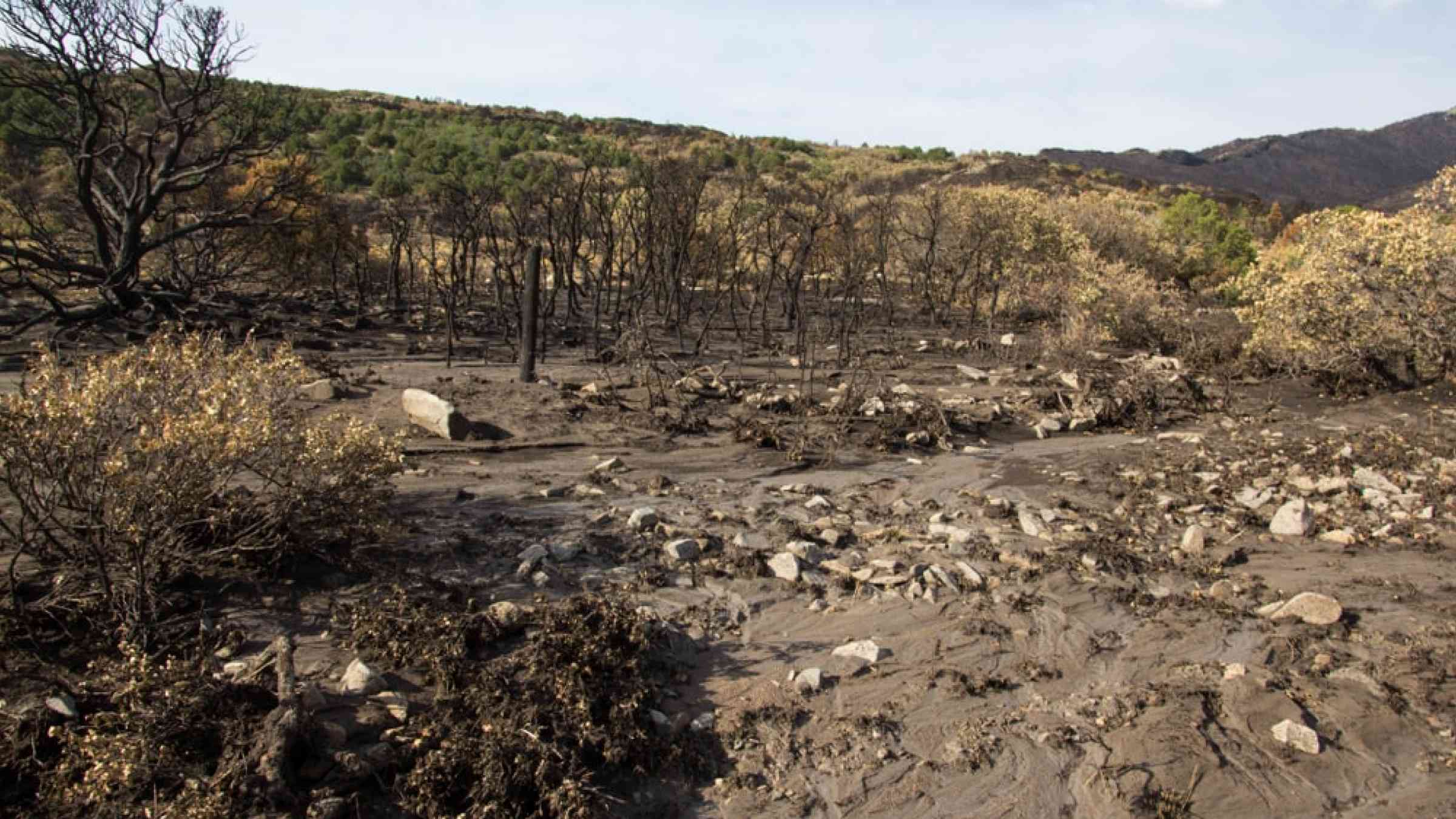
Landslides can be triggered by geological and physical causes such as glacier or snow melts, heavy rains and water pressure, earthquakes, volcanic eruptions and overly steep slopes. Landslides can also be triggered by human action, the most common being building on unstable slopes. Submarine landslides, or massive slides and rock falls hitting the sea can also cause tsunamis.

Landslides can reach speeds of over 50 km/h and can bury, crush or carry away people, objects and buildings. Landslides cannot be predicted but warning systems measuring rainfall levels can provide warning to people living in landslide-prone areas.

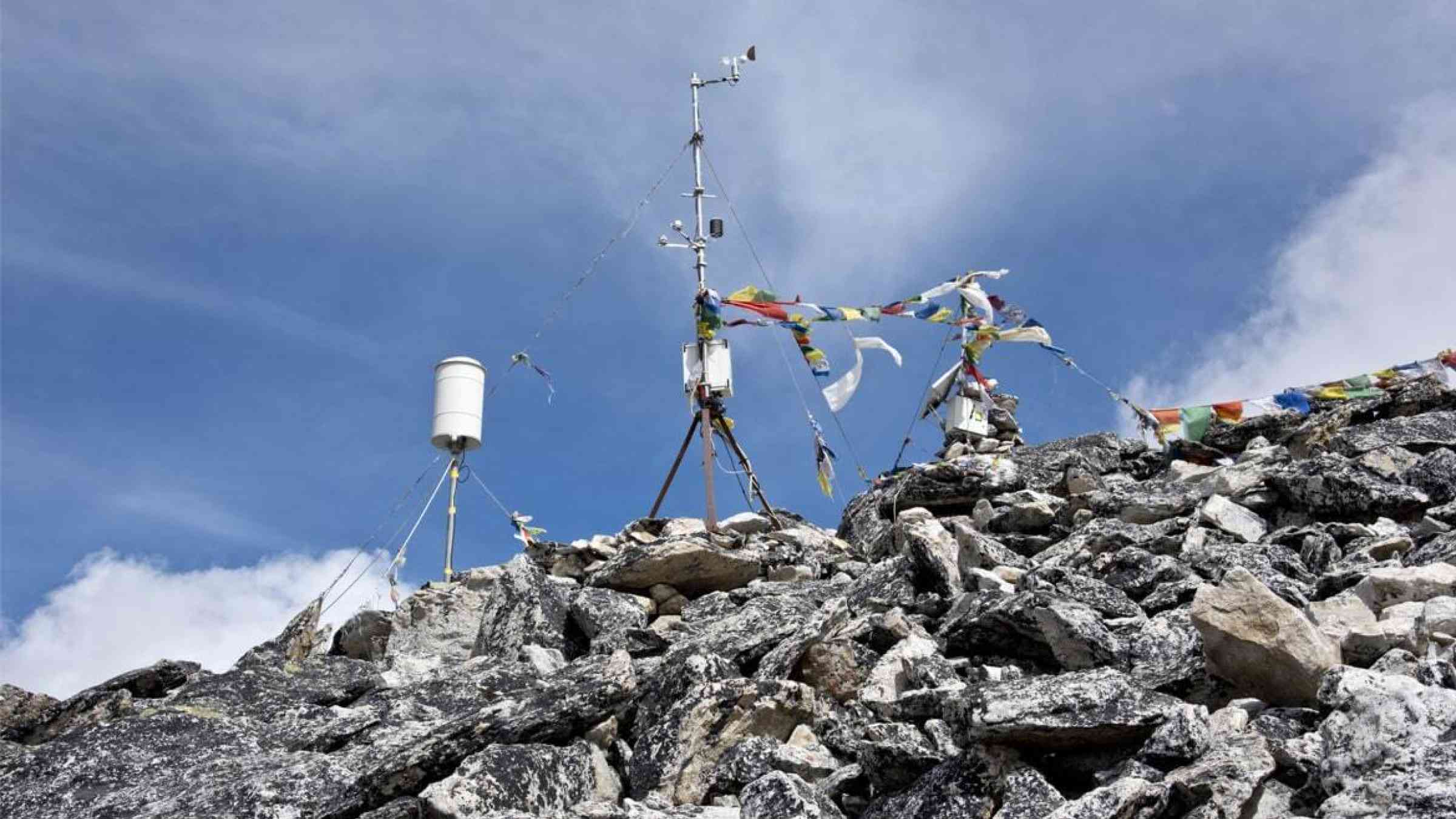
Instrumental monitoring to detect movement and the rate of movement can be implemented, for example, extensometers, global positioning system (GPS), seismometers, aerial photography, satellite images, LiDaR (Highland and Bobrowsky, 2008) with varying degrees of success. Increasingly, the science of landslide physics is allowing the nature of these hazards to be understood, which is leading to better techniques through which they can be managed and mitigated (HIP).

Risk factors

  • Population growth
  • Rapid urbanization
  • Environmental degradation (deforestation and inappropriate use of lands and slopes)
  • High population density, heavy rainfall and rapid land use changes increase the instability of slopes

Risk reduction measures

  • Early warning systems to observe and alert before landslides happen
  • Hazard maps to identify landslides risk and vulnerabilities
  • Integrate landslide risk assessment into urban planning strategies
  • Building codes and standards for materials that reinforce landslide resilience
  • Improve drainage, building tunnels and trenches to stabilize slopes
  • Protect forest cover and regulate logging
  • Raise awareness of landslide risk
  • Regular drills and community evacuation exercises
  • Establish national, regional, and local evacuation plans

Latest Land Slide additions in the Knowledge Base

Over flowing river and land slide
The monsoon season, which runs from June through September, has become a nervous time for the people of Nepal.
United Nations Environment Programme
Rockfall blocks a road followin heavy rain
A study published in the journal Geomorphology on June 2023 finds that increasing the frequency and intensity of extreme rainfall under the highest levels of warming in New Zealand could trigger more landslides per storm.
Climate Adaptation Platform
Cover
This paper studies the long-run economic impacts of landslides in Uganda, where 300,000 people have been affected, and 65,000 displaced, over the past decade alone. Between 2008 and 2018, around 265 million people were displaced by disasters .
Landslide-affected road
Cities are at the forefront of understanding risks and devising ways to manage them. Extreme weather events are on the rise, putting dense urban centers with their high concentrations of people and capital, in the line of fire.
World Bank, the
Weather station positioned on a rocky hillside, Nepal
In the hours and days following a devastating flood in June 2021, when a deluge of sediment and debris swallowed parts of the Melamchi River Valley in central Nepal, authorities scrambled to recover the dead and injured.
World Bank, the
View from dune top over sunset in North Sea from the island of Ameland, Friesland, Netherlands
When waves hit vegetated dunes, waterlogged areas form in front of plants, making for sand that’s easier to wash away. But you still need plants to form dunes in the first place.
Eos - AGU
Flash flood mud from runoff after a forest fire
Researchers believed a waxy coating in burnt soil caused water to run over the ground’s surface. They now find that burnt ground can absorb water, findings that can help them more accurately predict flooding and mudslides after a fire.
University of Southern California
By changes in the wavelength of light pulses in fibre optic cables, researchers at TU Graz can measure where rockfalls, landslides, fires and earthquakes are taking place.
Graz University of Technology

Is this page useful?

Yes No Report an issue on this page

Thank you. If you have 2 minutes, we would benefit from additional feedback (link opens in a new window).