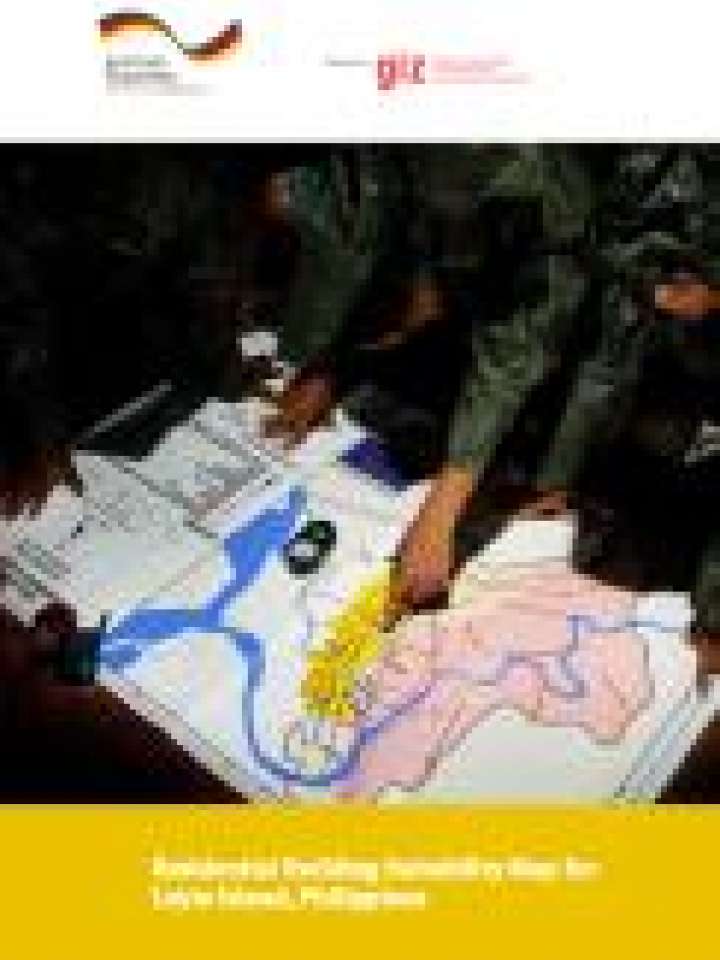
Residential building suitability map for Leyte Island, Philippines
The publication describes how a multi hazard suitability map for residential buildings was produced by using quantitative data (probability, severity) considering seven hazards (storm surge, tsunami, inland floods, storm, earhtquake, landslide, ground rupture) and how this map may be applied for land use planning and related purposes.
The production of the map included a survey of available hazard andvulnerability related information and data. The most reliable and appropriate sources were chosen and processed in a geographic information system (GIS). The map reveals big differences in the risk level of different areas. The flat coastal areas in the east of the island are more exposed to severe coastal hazards (storm surge and tsunami) than other coasts and with this they are the most dangerous spots in Leyte. Contributing to this is also the earthquake and the storm hazard. Both are more severe in the north east than the south west of the island. Some areas are facing relatively low risk levels.
Explore further