SERVIR Amazon fire tracking tool revamped ahead of El Niño
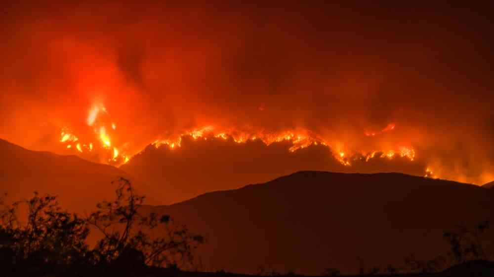
As land-clearing fires set our world’s largest rainforest ablaze, carbon streams into our atmosphere.
This dry season, communities in the central and northern Amazon face increased fire risk linked to El Niño. With the support of SERVIR, a joint program of USAID and NASA, decision-makers can more easily track and respond to these fires.
For years, SERVIR Climate Scientist Kátia Fernandes has looked to the oceans to forecast fires in the Amazon. Her predictions warned that this year would be especially fire-prone. 2023 is an “El Niño” year, which occurs when the surface of the central and eastern Pacific Ocean becomes unusually warm. El Niño changes weather patterns, reducing rainfall in the Amazon. With the combined effect of El Niño and the recent drought in the Amazon, Fernandes cautions that the forest may continue to burn well beyond the typical dry season. In these conditions, fires used to clear the forest for farmland can easily burn out of control.
To better monitor fires, NASA scientist Douglas Morton revamped the Amazon Fire Dashboard. Created with co-investigator Niels Andela from BeZero Carbon, this web tool uses NASA satellite data to detect, classify, and monitor fires in near-real time. The new version provides decision-makers with easy-to-use daily updates to help identify what types of fires are burning and how they are spreading. This information is essential for managing fire danger.
Morton partnered with SERVIR Amazonia to update the dashboard. Working with USAID’s global partners, SERVIR uses NASA data to support locally-led environmental and climate efforts. By collaborating with experts in the Amazon (including CENSIPAM, ICMBio, Ibama-Prevfogo, and IDEAM), the team refined the dashboard to be more relevant for local decision-makers.
“I’m inspired by the tireless efforts of the fire brigades—many of whom have been battling fires every day for the past month,” said Morton. “When many fires are burning at the same time, it can be hard to prioritize which fires to combat. Standing in the forest, it can also be very difficult to understand the full size and scope of a large fire event through dense forest and thick smoke.” Morton shared that firefighters are grateful for the dashboard information, which helps guide response efforts.
Data on the dashboard now updates daily and loads in as little as six seconds. Rather than viewing fires as isolated dots on a map, users can filter for specific fire types and zoom into an interactive view. When users click on a fire, the dashboard displays a summary of historic deforestation in the area, the date the fire was detected, and the total area that has been burned by related fires. These new features make it easier to track fires, which are categorized as one of four types:
- Deforestation: Intense, deliberate fires used after logging to clear forest for farms or ranches.
- Understory forest fires: Fires that spread from other sources to burn through leaves or woody debris on the rainforest floor. Because rainforests are not adapted to fire, forest fires can kill 50% of the trees in their path.
- Small fires for land clearing or agriculture: Small, brief fires used by farmers to clear brush.
- Fires in savannas and other non-forested areas: Fires in grasses or shrubland that burn and spread quickly, but release less carbon than other fires.
Based on these categories, the dashboard provides an estimate of carbon emissions from each fire. Deforestation and understory fires typically release more carbon and cause ecosystem damage that can last for decades.
The dashboard also displays how fires impact Indigenous territories and other protected lands. For example, when fires raged in 2020, the dashboard showed that Indigenous territories with greater enforcement of land protections had fewer fires cross their borders. Areas with less protection had larger, more numerous fires at the hands of grilheiros, or “land grabbers.” Real-time data could support local authorities in their efforts to prevent illegal encroachment onto these territories.
With this tool, USAID and NASA are not only supporting communities throughout the Amazon, but safeguarding the livelihoods of our global community. The Amazon stores a significant amount of the world’s carbon, helping to mitigate the impacts of climate change. With the Amazon Fire Dashboard, experts throughout the region can better conserve this vital yet fragile ecosystem.