Remote sensing technology in claims assessment – lessons learned from the 2021 Australia East Coast floods

Accelerating innovation
Over the past decade, applications of geospatial and earth observation sensor data from satellites, aircrafts and drones have expanded rapidly. For insurance specifically, these trends have far-reaching implications in streamlining existing some risk management processes. Such solutions can build societal resilience and improve activities in the insurance value chain, including on-the-ground claims assessment, mitigating moral hazards and enabling faster claims payments. Swiss Re's Rapid Damage Assessment (RDA) solution for flood risk is one example where remote sensing technology can help optimize claims process for property insurance.
Rapid damage assessment after large-scale flood events
According to Swiss Re Institute's research, small to mid-sized severe weather events, or secondary perils, accounted for more than 70% of insured losses from natural catastrophes in 2020, with precipitation-driven floods dominating secondary perils losses in Asia Pacific over the past decade.1
Flood events restrict mobility and damage transport infrastructure, which can make it difficult for surveyors to get a quick and accurate picture of losses. Satellite images can be used to detect floods and measure the extent of losses, more so if data on water depth, flood area and event duration are combined. This includes both inland (pluvial and fluvial) floods and coastal (storm surge) floods. Street level insights on inundation can be used as input for faster claims settlement and may also lead to better vulnerability curves for risk models.
Figure 1

Source: Swiss Re Institute
Synthetic Aperture Radar (SAR) satellites can provide high-resolution images identifying the presence of water bodies. Digital elevation models (DEM), where available, can be used to measure flood depth, and the resultant output enriches the geo-referenced portfolio data to derive individual risk level damage estimates and helps obtain better insights on vulnerability curves for flood risk modelling (see Figure 1). It is necessary to highlight that DEMs are crucial for measuring flood depth. Their quality has evolved with advances in data sourcing and processing methods. Early methods were based on ground surveys and topographic map conversions. Newer methods leverage passive remote sensing, aerial photographs, and more recently active sensing which include Light Detection and Ranging (LiDAR).
Case study: 2021 Australia East Coast Storm losses estimated
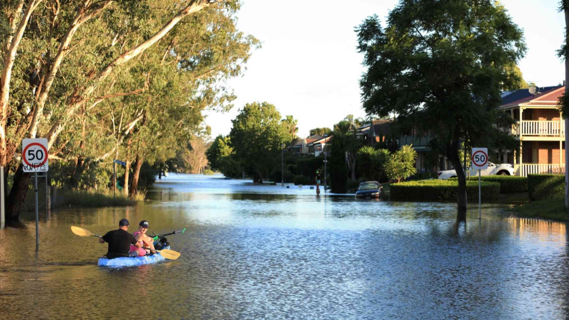
In March 2021, heavy rainfall occurred in New South Wales (NSW), Australia, leading to major flooding in large areas of central and mid-north coast. The Rapid Damage Assessment (RDA) footprints helped gain a quick overview of the loss situation. Within 24 hours, flood footprints were uploaded onto Swiss Re's proprietary natural hazard atlas CatNet®, also available to the clients. With quick mapping of the exposure portfolio, the team at Swiss Re could form an objective opinion on the quantum of locations affected, which further assisted in the loss estimation and the subsequent reserving process.
SAR imaging facilitated three-dimensional flood risk assessment while the flood event was still evolving. In the NSW flood event case, using the event footprints and overlaying them with the portfolio exposure data showed that estimated losses were less than initially assumed. If the team were to rely solely on publicly available information, the estimation would have likely been conservative – perhaps for a longer period. In other words, the flood event footprints provided confidence in deriving realistic market loss estimates in a relatively faster timeframe along with higher confidence in the results.
Figure 2: Three-dimensional flood risk assessment using SAR imaging

Enterprise-scale deployment in insurance
Enterprise-scale deployment and scaling of such solutions requires insurers to account for variations in data quality across regions. Diverse climatic zones, rainfall patterns and heterogenous in-situ data sources may have to be considered for specific markets. Regions with more number of detached and individual houses can be more suited for loss estimation using remote sensing technology. In urban areas, interference of high-rise buildings may sometimes cause issues in acquiring images of inundation, although techniques are being developed to address these challenges. For example, insurers can use remote sensing and hydrological data in complementary ways. Satellites can provide river flow and floodplain visibility in areas with hydrological data, while real-time hydrological data can address the problem of satellite revisit time in peak floods and signal interference in urban areas. This requires investment and commitment to build capabilities through setting-up complex remote sensing infrastructure and developing further capabilities for processing and analysis.
1 From the ground up: Tackling the secondary perils protection gap in the Asia Pacific, Swiss Re, 14 June 2021