Risk identification and assessment

A qualitative or quantitative approach to determine the nature and extent of disaster risk by analysing potential hazards and evaluating existing conditions of exposure and vulnerability that together could harm people, property, services, livelihoods and the environment on which they depend.

Latest Risk identification and assessment additions in the Knowledge Base

Men fishing on a beach
The Government of São Tomé and Príncipe is poised to harness insights from the report, address sector-specific impacts, and strategically allocate funds for maintenance and fresh investments.
World Bank, the
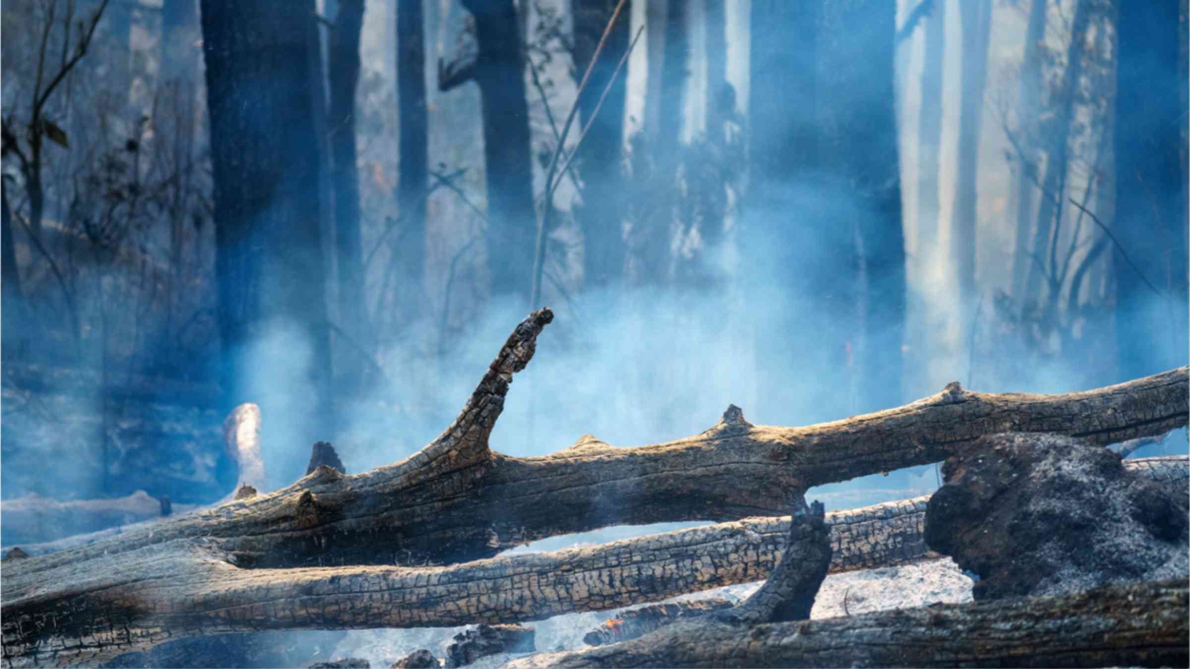
This image shows dead trees that were destroyed by a forest fire and are now covered with frost and rain.
Climate change and human activities like deforestation are causing more fires in central and west africa’s wet, tropical forests, according to the first-ever comprehensive survey there. The fires have long been overlooked.
American Geophysical Union
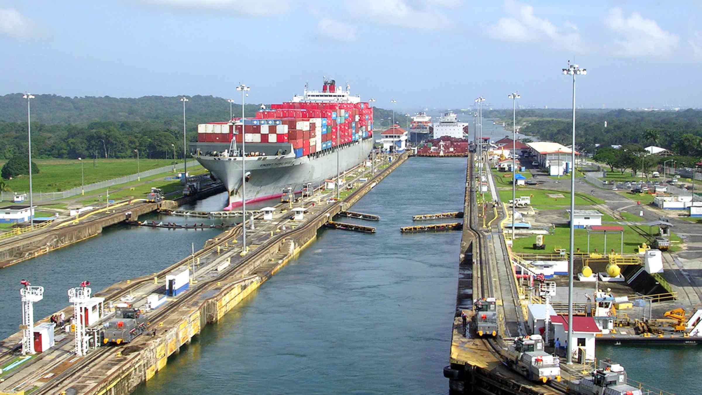
Cargo ship crossing the Panama Cannal
A lengthy drought that caused widespread disruption to commercial ships passing through the Panama Canal in 2023 would have been “unlikely” without the influence of El Niño, according to a rapid attribution study.
Carbon Brief
An Indian girl wearing a hat to protect her from the sun and the heat with a bottle of water in her hands.
A new study shows that even on days where there is no official heatwave warning, the threat from heat remains. The authors showed the association of a newly formulated India heat index (IHI) with daily all-cause mortality in the three cities.
Dialogue Earth
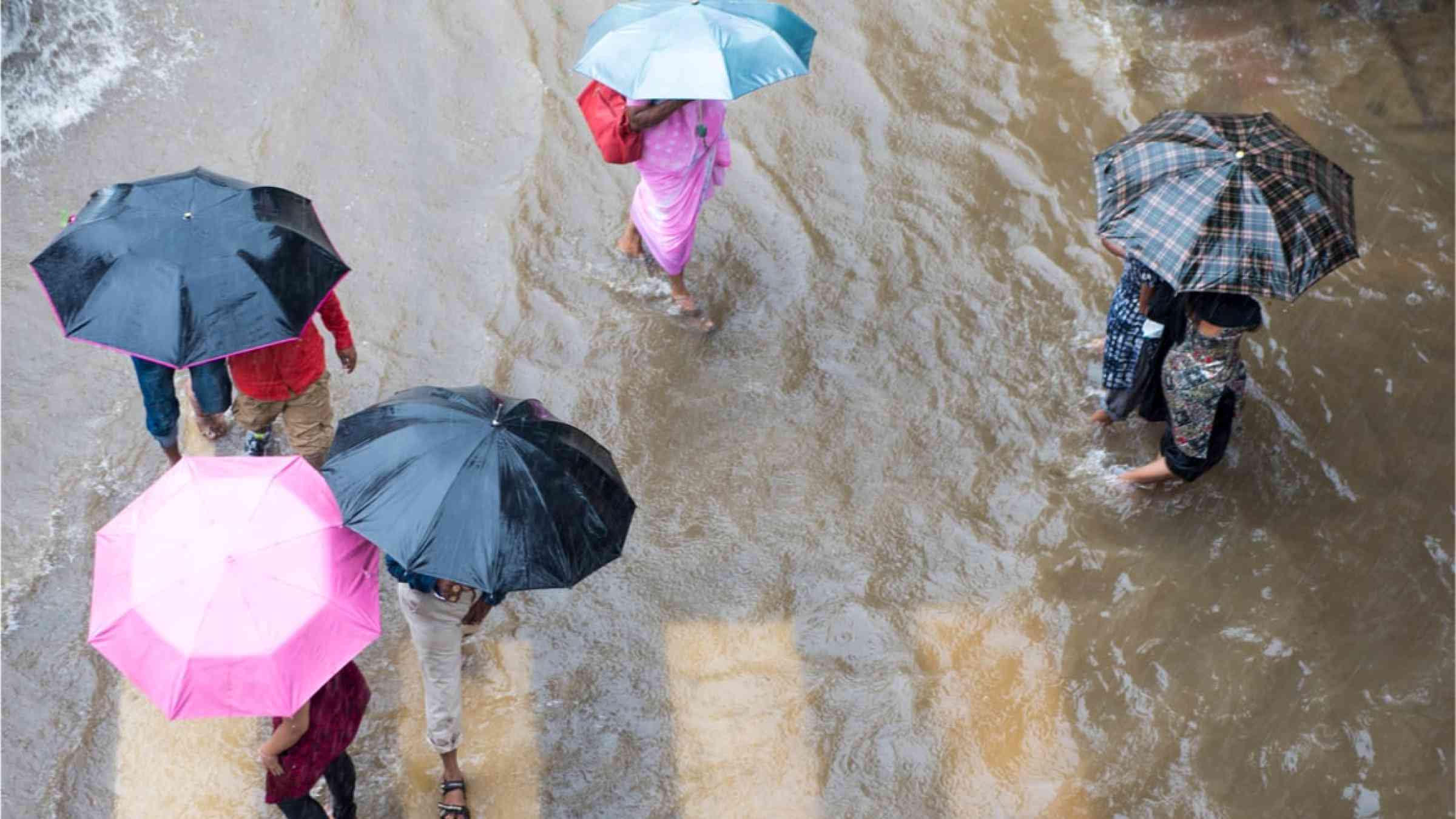
People crossing road with umbrella in rain at Matunga in Mumbai Maharashtra India
Western disturbances are hanging out over India for longer, adversely affecting water security in the country.
Eos - AGU
AI for DRR
TorNet, a public artificial intelligence dataset, could help models reveal when and why tornadoes form, improving forecasters' ability to issue warnings.
MIT Press, the
Cover
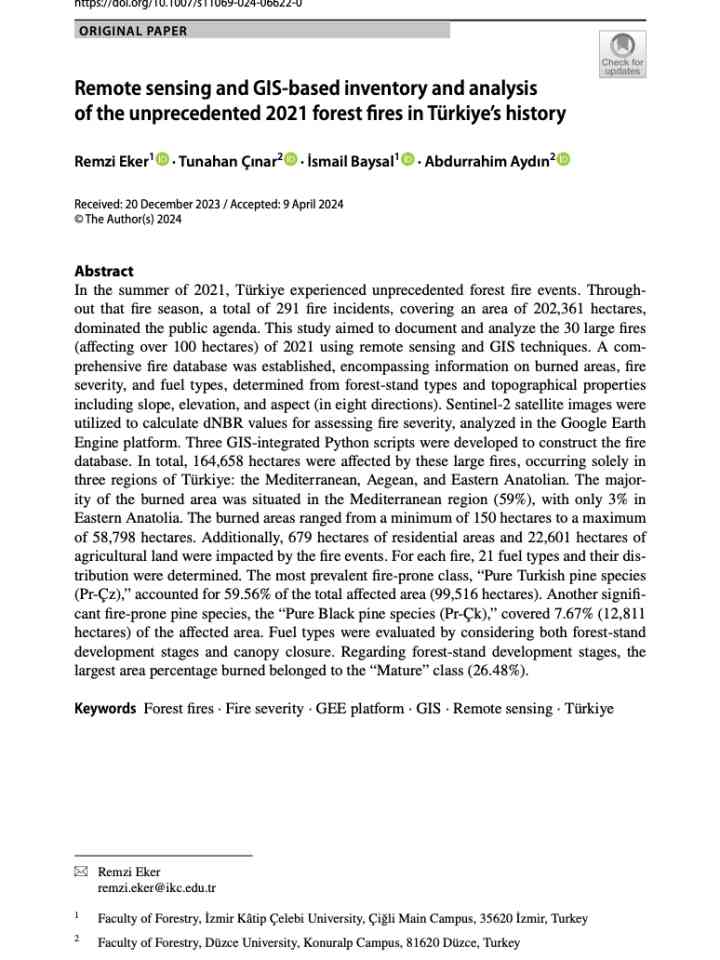
This study aimed to document and analyze the 30 large fres (affecting over 100 hectares) of 2021 using remote sensing and GIS techniques.
Spring is tornado season in the U.S., but the tornadoes in Nebraska and Iowa were quite a bit farther north and east of what would be typical for tornadoes in late April, when tornado activity is more common in Oklahoma and Texas.
Conversation Media Group, the

Is this page useful?

Yes No
Report an issue on this page

Thank you. If you have 2 minutes, we would benefit from additional feedback (link opens in a new window).