United States of America

National policies, plans and risk and governance profile(s)

Documents and publications

The intent of the manual is to provide Gulf Coast homebuilders, contractors, and local engineering professionals with a series of recommended foundation designs that will help create safer and stronger buildings along the Gulf Coast. The use of these

Documents and publications
Teaming up with representatives from the National Institute of Standards and Technology and the U.S. Army Corps of Engineers, the reconnaissance teams created this report to document a series of implications for earthquake risk reduction in the United States.
Documents and publications

The purpose of this study was to document maximum flooding elevations that occurred as a result of Hurricane Katrina in Mississippi by collecting high water marks in affected areas. HWM data collection helps accurately document a flooding event and

Documents and publications
This report includes a series of mitigation case studies that were integrated into the campaign, which demonstrate the viability of schools as safe community shelters.
Documents and publications

On September 5, 1996, Hurricane Fran made landfall near Cape Fear, North Carolina, and generated considerable rainfall, moderately high winds, and storm surge and waves along the coast. This report focuses on the damages along the North Carolina coast

Documents and publications

This report will details recovery efforts that state government made in the 12-24 month period after Hurricane Katrina. A summary of the work of the federal government, local governments, nonprofit entities and the private sector are also included. The

Documents and publications

During the past few decades, economic losses and human casualties due to natural disasters increased exponentially on our planet, mainly because of the increased density of population and industry in high hazard areas. Although the prediction of

Documents and publications

The purpose of this study was to document maximum flooding elevations that occurred as a result of Hurricane Katrina in Alabama by collecting high water marks in affected areas. HWM data collection helps accurately document a flooding event and assists in

View more Knowledge Base entries

Further DRR country-level resources

Explore the Knowledge Base

PreventionWeb's knowledge base contains more than 75,000 entries and is updated daily.

Bookshelves in a library.
Type of content
Explore all updates by their type: news, publications, resource guides and more.
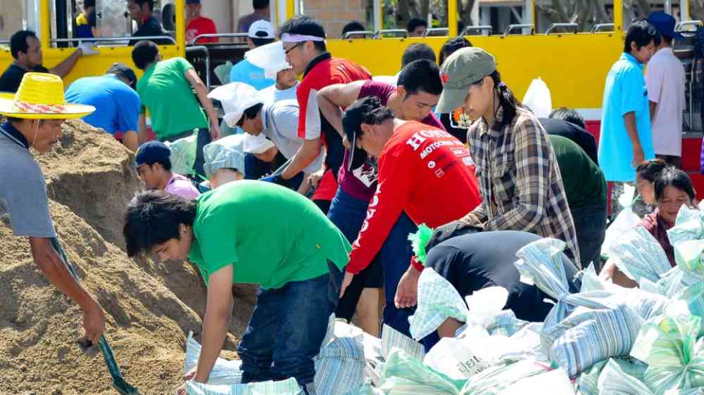
Thai people making sandbags to prevent flooding during the monsoon season in Bangkok, Thailand
Themes
Explore by the DRR theme: Human, economic, governance, science, environment and more.
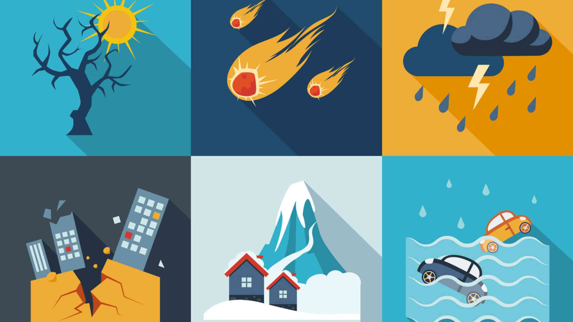
Different symbols of hazards and disasters.
Hazards
Explore by the hazard type: floods, heat, landslides, drought and more.
Airplane from above
Resource guides
Keep up to date with various DRR topics and emerging trends.
Is this page useful?

Yes No
Report an issue on this page

Thank you. If you have 2 minutes, we would benefit from additional feedback (link opens in a new window).