LANDSLIP knowledge product: Meteorological data
This document provides an overview of the key considerations when using meteorological data for regional Landslide Early Warning System (LEWS) development. Based on the experiences of developing the two LANDSLIP forecast products, the variability, accessibility and processing considerations of using different types of meteorological data will be described. The final section provides recommendations for others interested in using meteorological data for the development of operational LEWS.
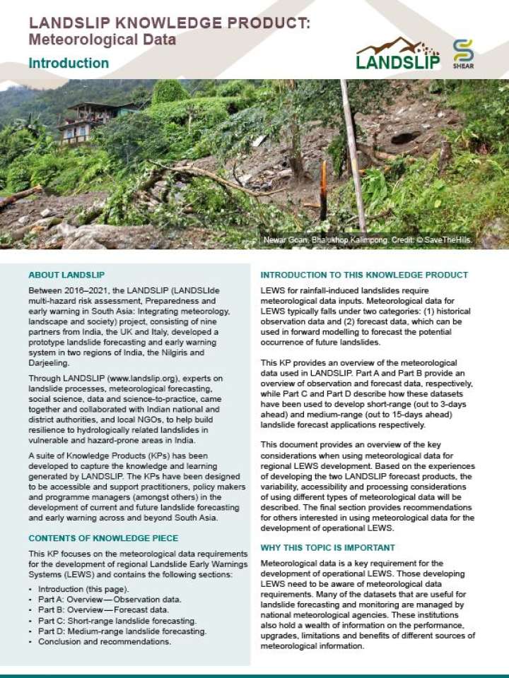
Landslide Early Warning System (LEWS) for rainfall-induced landslides require meteorological data inputs. Meteorological data for LEWS typically falls under two categories: (1) historical observation data and (2) forecast data, which can be used in forward modelling to forecast the potential occurrence of future landslides. This KP provides an overview of the meteorological data used in LANDSLIP. Part A and Part B provide an overview of observation and forecast data, respectively, while Part C and Part D describe how these datasets have been used to develop short-range (out to 3-days ahead) and medium-range (out to 15-days ahead) landslide forecast applications respectively.
Explore further