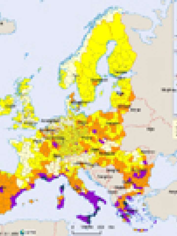
Europe: wildfire hazard map
The map gives a good overview on the fire distribution on a specifically European level, using a combination of vegetation zones and observed forest fires (ATSR, 1997 to 2003). The short observation period does not allow too detailed conclusions on the actual hazard on regional level. The vegetation zones, which are regulated by climate and the relief, play a major factor for the physical potential of forest fires.
The forest fire hazard map shows that the areas with the highest potential for forest fires lie in the Mediterranean, partly Romania and Bulgaria and in some hot spots in central Europe. The large areas with the highest hazard lie in central-northern Portugal and in north-western Spain, due to local habits of slash and burn practices that are a dreadful combination with the high forest fire potential.
Explore further
