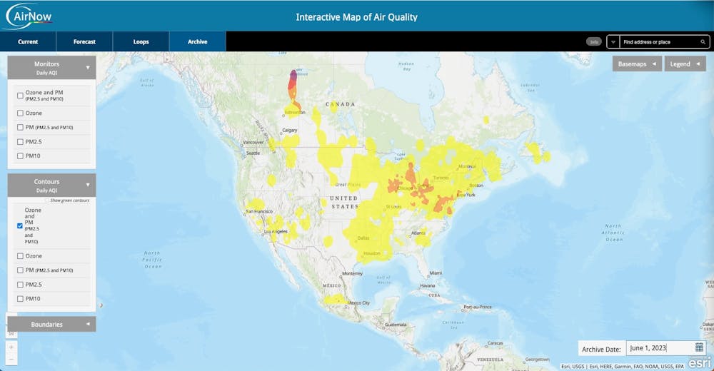
Another use of geospatial intelligence is environmental monitoring. A stable environment is essential for human health and security. Monitoring temperature, precipitation, snowpack and polar ice helps scientists and government officials anticipate and prepare for potential disturbances.
For instance, understanding temperature profiles – past, current and forecasted temperatures over an area – provides information on when, where and to what extent that area is likely to be affected by events such as heat waves. Heat waves often result in human suffering, increased energy demands and crop damage. With climate change intensifying extreme weather events, there is likely to be a corresponding increase in threats to human safety and security.
Military and civilian logistics
The Russian-Ukraine war is another area where geospatial intelligence has made contributions. Maxar Technologies, a commercial satellite imagery company, was the first to report the 40-mile-long convoy of Russian ground forces heading toward Kyiv in February 2022.
While governments historically could choose whether to release intelligence-related information, commercial satellite companies now play a vital role in providing this type of information to the public. In this way, geospatial intelligence represents an extension of the free press.
Another use of geospatial intelligence is in transportation, logistics and global supply chains. The global economy runs on GPS, which generates spatial data. GPS provides governments, businesses and people with detailed information on the time, location and destination of ships and cargo. This leads to greater efficiency and more consistent and reliable operations.
Geospatial intelligence is also helping with the rollout of autonomous vehicles. Using high-resolution imagery of about a foot (30 cm) per pixel, city planners and engineers are able to detect markings and features on the ground such as bicycle lanes and traffic direction. These advances help planners build safer, smarter, more efficient and better connected communities.
Yet another use of geospatial intelligence is contributing to the development, implementation and evaluation of digital twins. Digital twins are virtual representations of real systems – buildings or cities, for example – that mimic the systems’ characteristics and can be updated in real time to reflect changing conditions in the systems.
Digital twins are being used in many civilian and military settings to improve decision making. They are useful for modeling changes and predicting outcomes. Digital twins have been highly effective in conflict settings by simulating weather and terrain to help militaries and peacekeepers develop and enact strategies.
Growing need
The need for geospatial intelligence is more important than ever. Average temperature is projected to increase between 2 to 9.7 degrees Fahrenheit (1.1 to 5.4 degrees Celsius) by the end of the century. The global population is expected to reach 11 billion by 2100, and urban areas are becoming denser and more prone to disasters. Whether reconstructing the past, describing the present or anticipating the future, geospatial intelligence provides valuable information to help keep people and communities safe.
Not surprisingly, the geospatial intelligence industry is projected to grow from a US$61 billion enterprise in 2020 to more than $209 billion in 2030. The world is rapidly transforming, and geospatial intelligence is positioned to play an increasingly important role in working toward a safe, stable and informed future.