Data and information management

This theme covers aspects related to hardware, software, networks, and media for the collection, storage, processing, transmission and presentation of information for disaster risk reduction (DRR), as well as related services. It also addresses information management to support knowledge sharing for DRR, such as data exchange standards and taxonomy.

Latest Data and information management additions in the Knowledge Base

Cover
Documents and publications
This article underlines how data scarcity in many low- and middle-income economies leaves governments and other agencies without reliable and timely assessments of the impacts of disasters, and prevents them from taking early actions.
Update
For the past three years, undergraduate students in the Rosenstiel School have investigated how information on devastating landfalling hurricanes is created, shared, and used within a complete warning system.
University of Miami
Update
The International Water Management Institute (IWMI) has launched the Groundwater Management Information System (GMIS) to address water scarcity affecting millions in Pakistan's Punjab province.
The Nation
Cover and source: Syiah Kuala University
Documents and publications
The CORE-STEP Dashboard attempts to support healthcare systems by presenting visualisations of data on historical disaster events, climate-sensitive disease trends, community adaptation efforts, and health service capacity.
Update
The Locust Pesticide Management System developed by the FAO is an advanced digital tool designed to support countries to better manage and monitor pesticide stocks and equipment used for locust control to enhance preparedness.
Food and Agriculture Organization of the United Nations - Headquarters
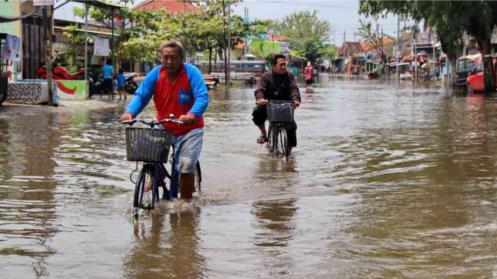
Cyclists driving through flooded streets in Pekalongan, Indonesia (2021)
Update
Analysis of geographically granular data is essential to identify vulnerable areas and optimize resource distribution.
Development Asia
Cover
Documents and publications
This study presents VOLCANBOX, a new multiplatform system designed to conduct long-and short-term volcanic hazard assessment and risk analysis in a systematic and rational manner, aimed at reducing volcanic risk by anticipating future eruptions.
Research briefs
A new algorithm for satellite radar data may hold the key to resolving issues in observing precipitation observation issues in unique and challenging physical environments like the Tibetan Plateau.
University of Science and Technology of China (USTC)
Uploaded on

Is this page useful?

Yes No
Report an issue on this page

Thank you. If you have 2 minutes, we would benefit from additional feedback (link opens in a new window).