Risk identification and assessment

A qualitative or quantitative approach to determine the nature and extent of disaster risk by analysing potential hazards and evaluating existing conditions of exposure and vulnerability that together could harm people, property, services, livelihoods and the environment on which they depend.

Latest Risk identification and assessment additions in the Knowledge Base

Two Rickshaw pullers in India on the hot streets.
Update
Forecasts indicate that western India will experience a period of intense heat from May 18-20, 2024. The event will include unusually warm nighttime temperatures, which can intensify the risk of heat-related illness and death.
Climate Central
Update
The agreed GRMA programme will provide the Government of Madagascar with relevant climate risk models and tools, informing its Request for Support to the Global Shield against Climate Risks.
InsuResilience Solutions Fund
Update
Wildfires in western and central Canada spread rapidly this week, forcing thousands of people to evacuate, with smoke sweeping into the Midwest and triggering air quality alerts in several states, a reminder of last year’s smoky conditions.
Grist Magazine
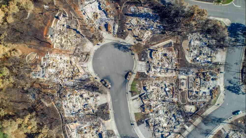
Wildfire damage, Santa Rosa, California
Update
To investigate trends in fire weather, a key factor of wildfire risk, Climate Central analyzed data from 476 weather stations to assess trends in 245 climate divisions spanning the 48 contiguous U.S. states during the last 51 years (1973-2023).
Climate Central
Update
In Canada land subsidence, a natural sinking process intensified by human activities like groundwater extraction and wetland destruction, is playing a critical role in the extent to which communities experience impacts from rising seas.
The Energy Mix
Research briefs
A new study finds broader surveillance and modelling of chemical changes produced by wildfires, could inform strategies for protecting lives, property, and natural resources, and managing wildlife.
Stanford University
Tree rings show historic climatic changes
Update
Across this vast area of land, encompassing Europe, Asia and North America, surface air temperatures were more than 2°C higher in June, July and August 2023 than the average summer temperature between AD1 and 1890, as reconstructed from tree ring records.
Conversation Media Group, the
Cover
Documents and publications
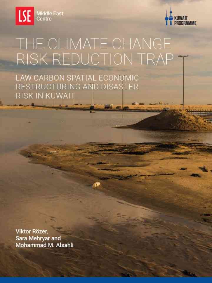
This paper provides an empirical illustration of this trap using the example of flash flood risk in Kuwait and shows how decisions on urban planning and economic restructuring have increased flash flood risk.

Is this page useful?

Yes No
Report an issue on this page

Thank you. If you have 2 minutes, we would benefit from additional feedback (link opens in a new window).