Hazard
A hazard is a process, phenomenon or human activity that may cause loss of life, injury or other health impacts, property damage, social and economic disruption or environmental degradation. Hazards may be natural, anthropogenic or socionatural in origin.
UNDRR Terminology (2017)


Disaster risk is the consequence of the interaction between a hazard and the characteristics that make people and places vulnerable and exposed. This is the second section of Components of risk: hazard.
Why does it matter?
Hazards are often categorized by whether they are natural (sometimes termed physical) or technological (sometimes called man-made or human-induced). The term 'peril' is sometimes used instead of hazard, particularly in the insurance industry.
Effective disaster risk reduction requires the consideration of not just what has occurred but of what could occur. Most disasters that could happen have not yet happened.
Natural (or physical) events are only termed hazards when they have the potential to harm people or cause property damage, social and economic disruption. The location of natural hazards primarily depends on natural processes, including the movement of tectonic plates, the influence of weather systems, and the existence of waterways and slopes (e.g. that might generate landslides). But processes such as urbanization, environmental degradation and climate change can also influence the location, occurrence (frequency) and intensity of natural hazards. These processes are known as risk drivers.
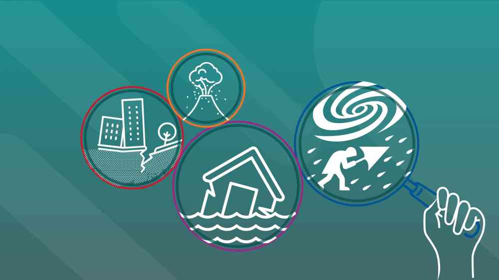
The classification schemes for hazards vary across different research institutions and governments, but these can be divided into:
- Biological hazards are of organic origin or conveyed by biological vectors, including pathogenic microorganisms, toxins and bioactive substances. Examples include bacteria, viruses or parasites, as well as venomous wildlife and insects, poisonous plants and mosquitoes that carry disease-causing agents.
- Environmental hazards arise from the degradation of natural systems and ecosystem services or from physical or chemical pollution in the air, water and soil. However, many of the processes and phenomena in this category may be termed drivers of hazard and risk rather than hazards in themselves, such as wildfires, soil degradation, loss of permafrost, deforestation, loss of biodiversity, salinisation, and sea-level rise.
- Geohazards originate from internal Earth processes. They are divided into three hazard clusters: seismogenic and volcanogenic, which result from Earth's internal geophysical processes, and shallow geohazards, which result from surface or near-surface processes. Seismogenic hazards or earthquakes, give rise to specific hazards such as ground shaking, subsidence or ground rupture, but can also trigger tsunamis or rockfall. Volcanic hazards include volcanic eruptions, lava flows, ashfall, and ground gases. Shallow geohazards cause erosion or mass movement.
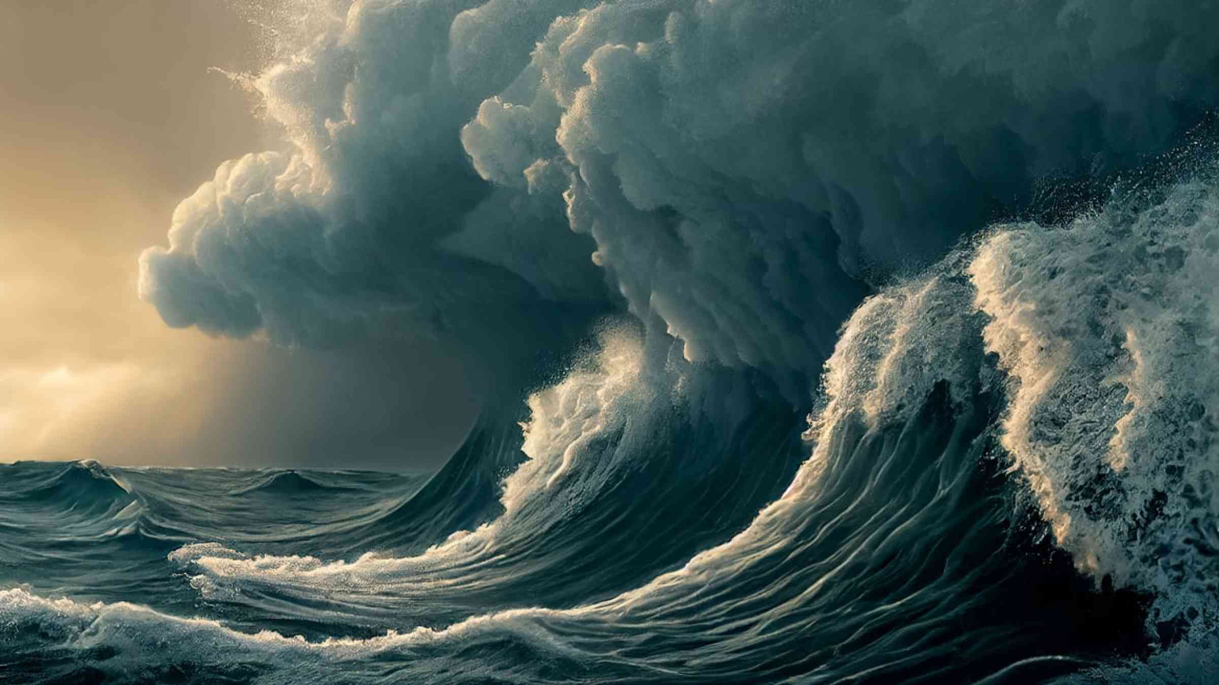
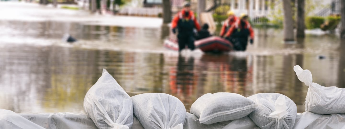
- Meteorological and Hydrological hazards are of atmospheric, hydrological or oceanographic origin. Examples are tropical cyclones (also known as typhoons and hurricanes), floods, including flash floods; drought; heatwaves, cold spells, and coastal storm surges. Hydrometeorological conditions may also be a factor in other hazards such as landslides, wildland fires, locust plagues, epidemics and the transport and dispersal of toxic substances and volcanic eruption material.
- Technological hazards arise from technological or industrial conditions, hazardous procedures, infrastructure failures, or specific human activities. Examples include industrial pollution, nuclear radiation, toxic wastes, dam failures, transport accidents, factory explosions, cyberhazards, fires and chemical spills. Technological hazards may also arise directly from the impacts of a natural hazard event.
- Chemical hazards are linked to the dramatic increase in chemical use across many sectors, including industry, agriculture, and transport, with people exposed to chemicals of both natural and human origin in environmental and technological contexts. These include chemicals of significant public health concern, organic chemicals and more generic hazards such as chemical fires.
Each hazard often triggers a sub-set of hazards, for instance tropical cyclones (known as hurricanes in the Atlantic Ocean, cyclones in the Indian Ocean and typhoons in the Northern Pacific Ocean) can bring intense winds, storm surge and heavy rainfall, as well as trigger secondary hazards, for instance landslides. A series of triggering relationships can cause a domino or cascading effect, for instance in the case of the tsunami-earthquake-nuclear crisis in Japan, 2011.
Characteristics of hazards
Natural hazard events can be characterized by their magnitude or intensity, speed of onset, duration, and the area they cover.
Hazards occur at different intensities (or magnitudes) over different time scales (sometimes known as temporal scales). Scientists talk about the occurrence of hazards of different intensities in terms of probabilties or return periods (also known as recurrence intervals), within the context of uncertainty. In general, the longer the return period (the less frequent the hazard) the greater the intensity of the hazard. Because of these long return periods, some communities may have no memory of the potential threat of a high intensity hazard. This was the situation in the eruption of Mt Pinatubo in 1991 (the second largest volcanic eruption of the 20th century), which displaced 20,000 indigenous peoples living in its foothills and triggered large mudslides (known as 'lahars') which affected people for several years after the eruption.
Hazards also occur at different geographical (spatial) scales. For instance, the occurrence and impact of tornadoes tends to be quite localised, whereas droughts can occur over several tens of thousands of kilometres. See here differences between intensive and extensive risk.

Multi‑hazards take several forms: triggering (one hazard sets off another), amplification (one hazard changes the likelihood or severity of another), compound (impacts coincide in time and space), and consecutive (back‑to‑back events before recovery is complete).
Many countries are exposed to multiple hazards. It is therefore essential to consider the risk related to the full range of hazards that might affect people or assets. Unfortunately, there have been a number of cases where the full range of hazards has not been considered; for instance following the devastating 2004 Indian Ocean tsunami, some housing in Aceh, Indonesia, was reconstructed in flood-prone areas, meaning families were exposed to future hazard events.
Hazards can also interact; the 1991 eruption of Mt Pinatubo in the Philippines was also accompanied by Typhoon Yunya, which soaked the accumulating volcanic ashfall with rainfall. The heavy weight of the wet ash caused the roofs of homes and businesses to collapse, resulting in most of the 300 deaths directly associated with the eruption (Wolfe, 1992). As this example shows, the interaction between hazards can result in the overall impact being greater than if these hazards had occurred at separate times, which has major implications for risk assessment.
How do we measure hazards?
Essential steps in hazard assessment are identifying the relevant hazard(s) and the collection of hazard-related data. Once the hazards are defined, the next step often involves obtaining a variety of hazard-related data. The most essential data define the date, geographical location and extent, and maximum intensity of historical events. A collection of the spatial, intensity, and temporal characteristics for events in an event set is termed a hazard catalogue. Hazard catalogues can be used with risk models in a deterministic or probabilistic manner.
This process may include difficult decisions, such as whether to consider secondary (or chains of) hazards that might be triggered by a primary event (e.g. a fire after an earthquake) and/or the interactions between hazards.

Historical events are often used in deterministic analyses that assess the impact of past events with current exposure, but can also be used to estimate the probability of a hazard occurring at a location with a specific intensity. However, we have already identified that high intensity hazards tend to occur infrequently and have long return periods. This means that many of the intensities of hazards (and ultimately disasters) that could occur have not yet happened, which is particularly the case for geological hazards because they often occur over long time periods. Historical records of these types of events do not show the true picture of hazard return periods. Computer generated hazard events with statistical characteristics consistent with the historical record are therefore used to ""complete"" hazard catalogues. Such event sets can typically include thousands or tens of thousands of potential events and are intended to define the full range of potential events for a hazard. Event sets are used with information on exposure and vulnerability to quantify probabilities of loss and risk from a hazard. A probabilistic risk model contains a compilation of all possible “impact scenarios” for a specific hazard and geographical area. Note that hazard catalogue are generally associated with rapid onset hazards. Risk assessments for slow onset hazards, such as drought, are typically undertaken using deterministic approaches.
Source: adapted from GFDRR (2014a)
Can we reduce hazards?
The adverse impacts of hazards, in particular natural hazards, often cannot be prevented fully, but their scale or severity can be substantially lessened by various strategies and actions.
Mitigation measures include engineering techniques and hazard-resistant construction as well as improved environmental and social policies and public awareness. It should be noted that, in climate change policy, “mitigation” is defined differently, and is the term used for the reduction of greenhouse gas emissions that are the source of climate change.
Improving our knowledge of hazards and conducting hazard assessments can help us to locate and, in the case of some hazards, anticipate over different time-periods when these might occur. Anticipation ranges from probabilistic analysis of long-term hazard occurrence, to the monthly, daily or even hourly detection and monitoring of hazards, in order to inform early warning systems (EWS).
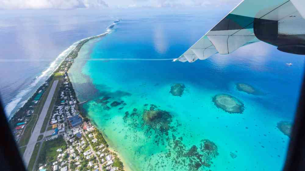
Tuvalu has successfully mapped all nine of its atoll systems, including the islands and surrounding reefs and lagoons - covering approximately 500 square kilometres in total - utilizing airborne LiDAR.
Warning systems must be accompanied by strategies for disaster risk reduction in order to reduce vulnerability and enhance people's capacity to respond and recover from a disaster. In the case of slow-onset hazards, if early indicators of a potential crisis are detected then warning can be a key tool for building resilience, as exemplified by food security early warning systems.
Effective EWS include four components: (1) detection, monitoring and forecasting of the hazards; (2) analysis of the risks involved; (3) dissemination of timely and authoritative warnings; and (4) activation of emergency preparedness and response plans. These need to be coordinated across many agencies at the national and community levels for the system to work - failure in one component, or lack of coordination, can lead to the failure of the whole. Multi-hazard early warning systems (MHEWS) should also account for how hazards and risks interact.
Currently it is not possible to warn when earthquakes will occur, but we can say with some reliability where they might occur and so we can mitigate the impact of earthquakes by implementing strict building codes and raising awareness of how to respond. It is also challenging to warn for volcanic eruptions. There can sometimes be activity prior to eruptions (known as precursors) that, if monitored, can give an indication of when an eruption might occur, although determining the exact timing of an eruption is not yet possible. Eruption precursors are used to inform early warning systems, which provide a range of alert levels with accompanying safety information. However, in spite of improvements in raising awareness and early warnings around volcanoes, some 'high-exposure' volcanoes remain unmonitored. For landslides, we can predict their occurrence based on triggers that we can provide warnings for, such as heavy rainfall, but not in the case of sudden triggers, such as earthquakes.
Last updated on: 9 December 2025
Related Sections on PreventionWeb