Longer, more intense fire weather seasons
Key concepts
- Climate Central examined historical trends in fire weather — a combination of high heat, low humidity, and strong winds — across the U.S.
- This analysis uses data from 476 weather stations to assess trends in 245 climate divisions spanning all 48 contiguous U.S. states over a 51-year period (1973-2023).
- Wildfire seasons are lengthening and intensifying, particularly in the West. Many parts of the East have seen smaller but impactful increases in fire weather days.
- Much of the West and East are experiencing the greatest increase in fire weather during spring months. The Southwest is also seeing a boost in fire weather during summer.
Hotter, drier weather is boosting wildfire risk
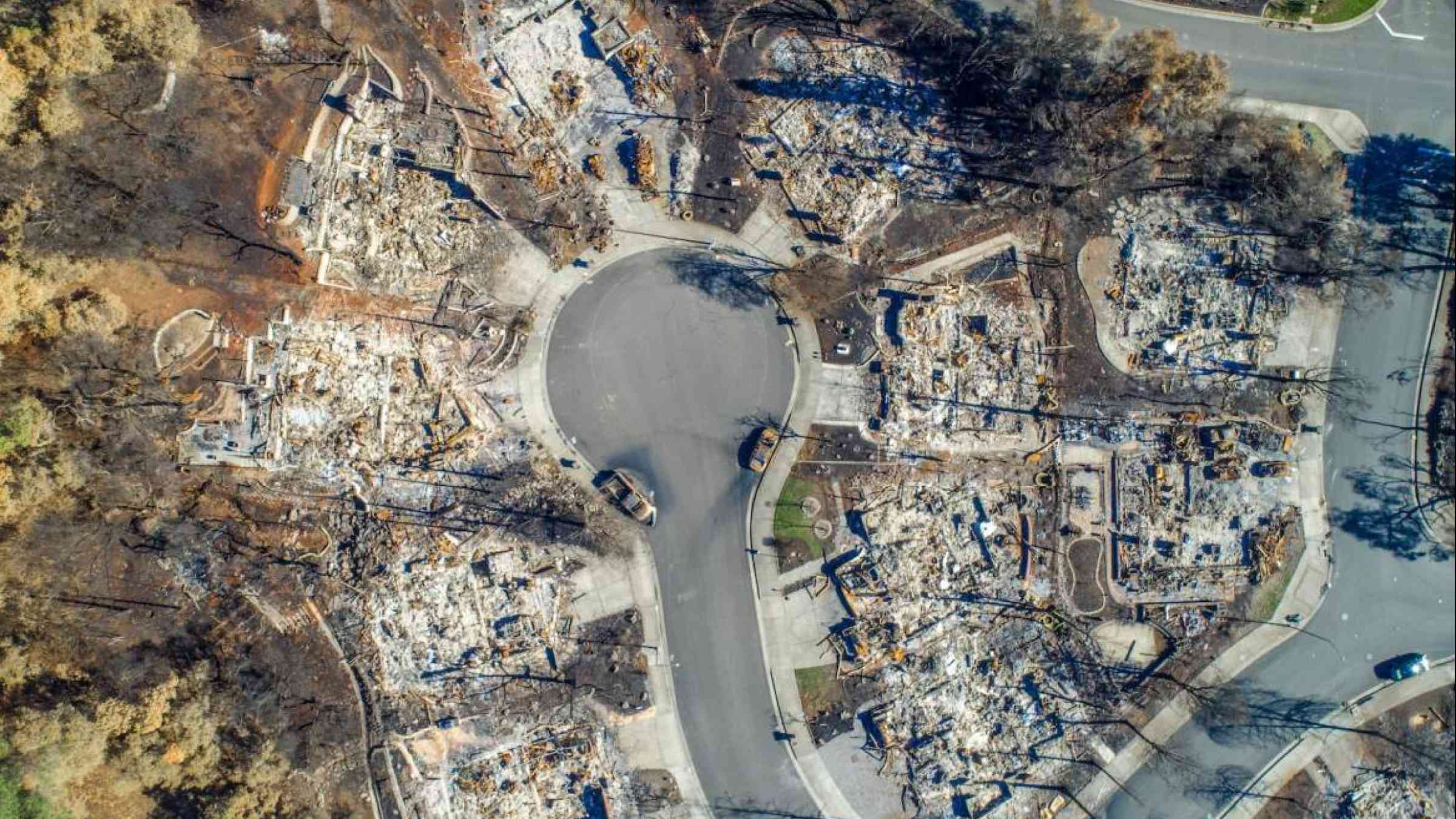
Climate change is affecting weather conditions in ways that increase wildfire risks. Warming temperatures and increasingly dry air, vegetation, and soils make fires easier to spread, and more difficult to fight or prevent.
To investigate trends in fire weather, a key factor of wildfire risk, Climate Central analyzed data from 476 weather stations to assess trends in 245 climate divisions spanning the 48 contiguous U.S. states during the last 51 years (1973-2023).
Fire weather primes the landscape for wildfires to start and spread
Fire weather refers to meteorological conditions that promote the spread of wildfires. As fire weather becomes more prevalent, there are more days when extreme conditions can blow up small blazes into big ones or fuel the growth of large wildfires.
Climate Central's analysis focuses on three conditions fundamental to fire weather: temperature, relative humidity, and wind (see Methodology for details).
- Hotter temperatures have a direct influence on fire behavior, heating the fuels and making them more likely to ignite. Warmer nighttime temperatures decrease the overnight relative humidity that once helped firefighters gain control over wildfires.
- When relative humidity levels are very low, the air pulls moisture from the land, leaving vegetation dry and prone to burning. Climate Central's analysis (see Observable) shows that decreasing relative humidity has been a major factor in boosting annual fire weather days for many locations across the U.S.
- Wind supplies oxygen to a fire, causing it to burn more rapidly. Wind increases evaporation, drying out the land. Wind also carries embers, which helps fires spread.
Climate Center’s 2023 report, Wildfire Weather: Analyzing the 50-year shift across America, explains additional factors that influence wildfire, including fuels (such as dried vegetation or downed trees), other weather conditions, and human activity.
Climate differences across the country influence fire weather trends
The contiguous U.S. is 2.6°F warmer today than it was in 1970. Warming that influences fire weather has been observed across the country. But key regional climate differences spanning from west to east result in distinct fire weather trends.
The findings are divided into broad geographic regions (West and East), each comprising multiple climate regions and climate divisions, as defined by NOAA’s National Centers for Environmental Information. Note: The NCEI South region was split into the western South (Texas, Oklahoma, and Kansas) and eastern South (Arkansas, Louisiana, and Mississippi) and grouped as indicated in the tables below.
Fire weather trends in the West
- The analysis shows a strong increase since the early 1970s in the average number of annual fire weather days experienced in the West. These results are consistent with findings from previously published research.
- Areas in Southern California, New Mexico, Texas, and Arizona have experienced some of the greatest increases in annual fire weather days, with some areas now seeing around two more months of fire weather compared to a half century ago.
- Some places, including parts of California, Nevada, New Mexico, and Texas now experience fire weather around twice as often as in the early 1970s.
- By contrast, parts of North Dakota and South Dakota have experienced a decline in the frequency of fire weather days. The Dakotas are part of a region where spring has been cooling slightly.
- Overall, the West has seen the greatest jump in fire weather days in the spring and summer, particularly in southwestern areas. Parts of New Mexico, Arizona, and Colorado are seeing around a month more of fire weather days during spring. Areas in Southern California, Utah, and Arizona are experiencing around three weeks more during summer.
Fire weather trends in the East
- Most eastern areas included in this analysis saw, at most, a few more days of annual fire weather since 1973 --- and around 30% of eastern climate divisions saw either no change or a decrease. Modest regional increases in fire weather days align with recent research.) that shows more large wildfires are occurring in the East, particularly in southeastern areas.
- A band stretching from coastal Maine through the Northeast, Piedmont Valley, and into northern Florida experiences the highest average number of annual fire weather days in the East. Parts of the Southeast and Northeast experience several weeks of fire weather on average each year. Northern Florida experiences around a month.
- Parts of the Southeast and Northeast have experienced some of the greatest increases in annual fire weather days across the East. The northern Piedmont area in North Carolina is seeing nearly two more weeks of fire weather, while northern New Jersey and coastal New York are experiencing at least 10 additional days of fire weather annually.
- Across much of the East, the greatest increase in fire weather days is happening during spring, which aligns with spring warming trends experienced in many eastern states.
Local story angles
How does each key driver of fire weather influence seasonal trends in your area?
Temperature, relative humidity, and wind speed are key variables that drive fire weather, and each can vary seasonally. Explore trends in the seasonal fire weather drivers (via Observable). Find local spring, summer, fall, and winter temperature trends for your area. Climate Central will publish updated local summer temperature trends on May 22.
Does your local area face immediate fire risk?
NOAA's Storm Prediction Center produces daily reports of elevated fire weather conditions. The Incident Information System identifies where wildfires have been reported and provides detailed information on conditions. You can stay updated about risk of fire with the North American Seasonal Fire Assessment and Outlook, produced by the National Interagency Fire Center (NIFC) in Boise, Idaho at the beginning of each month.
How many people live in areas prone to wildfire in your state?
The University of Wisconsin-Madison's SILVIS Lab provides maps and data on the wildland urban interface (WUI) from 1990-2020.
What can communities do to adapt to wildfire risks?
The U.S. Fire Administration outlines steps communities can take toward being wildfire adapted. A number of fire adaptation strategies include increased use of land management techniques that eliminate excessive fuels, such as prescribed burns, or creating defensible space around homes and other structures. There are toolkits to prepare homes and create evacuation plans.
Contact experts
Victoria Donovan, PhD
Assistant Professor
University of Florida
Relevant expertise: Fire ecology, forest management
Contact: victoria.donovan@ufl.edu
*Unavailable May 16-25, 2024
Molly Hunter, PhD
Science Advisor
Joint Fire Science Program
Relevant expertise: fire science and management, fire ecology, invasive species
Contact: mhunter@blm.gov
Find experts
Submit a request to SciLine from the American Association for the Advancement of Science or to the Climate Data Concierge from Columbia University. These free services rapidly connect journalists to relevant scientific experts.
Browse maps of climate experts and services at regional NOAA, USDA, and Department of the Interior offices.
Explore databases such as 500 Women Scientists, BIPOC Climate and Energy Justice PhDs, and Diverse Sources to find and amplify diverse expert voices.
Reach out to your State Climate Office or the nearest Land-Grant University to connect with scientists, educators, and extension staff in your local area.
Methodology
Graphics showing trends in annual fire weather days from 1973--2023 for 245 U.S. climate divisions are organized by respective media markets.
This analysis defines a "fire weather day" as one where the following three conditions co-occur in at least two hourly measurements:
- Temperature of at least 45-55°F, depending on the season (winter: 45°F; summer: 55°F; spring and fall: 50°F)
- Relative humidity within 5% of regional thresholds defined by NOAA's Storm Prediction Center (based on predominant fuel type and local climate)
- Sustained wind speeds of 15 mph or greater (10 mph or greater for Florida locations)
Hourly observations for 476 stations across the contiguous United States were obtained from 1973-2023 using NOAA/NCEI's Local Climatological Data. Stations needed to pass several data completeness checks in order to be included in this analysis. Using the thresholds detailed above, Climate Central calculated the number of annual and seasonal fire weather days at each station over the past 51 years. Thresholds were not available for Alaska, Hawaii, or Puerto Rico, and therefore these locations were not included in this analysis. Results were mapped to each station's climate division. For climate divisions with multiple stations, data were averaged across all stations. Additionally, we calculated the average annual and seasonal fire weather days (using meteorological seasons) and used linear regression to calculate the total change. Data were rounded to the nearest whole day. Some climate divisions only had one weather station with sufficient data inside its boundary. While confidence in our results increase with additional stations, our results are consistent with recent findings (for example, here and here).
This analysis is not a comprehensive assessment of fire weather and should not be used in isolation to make conclusions about overall fire risk. A detailed methodology is available in the 2023 report, Wildfire Weather: Analyzing the 50-year shift across America.