An impact-based forecasting system for improved early flood warning
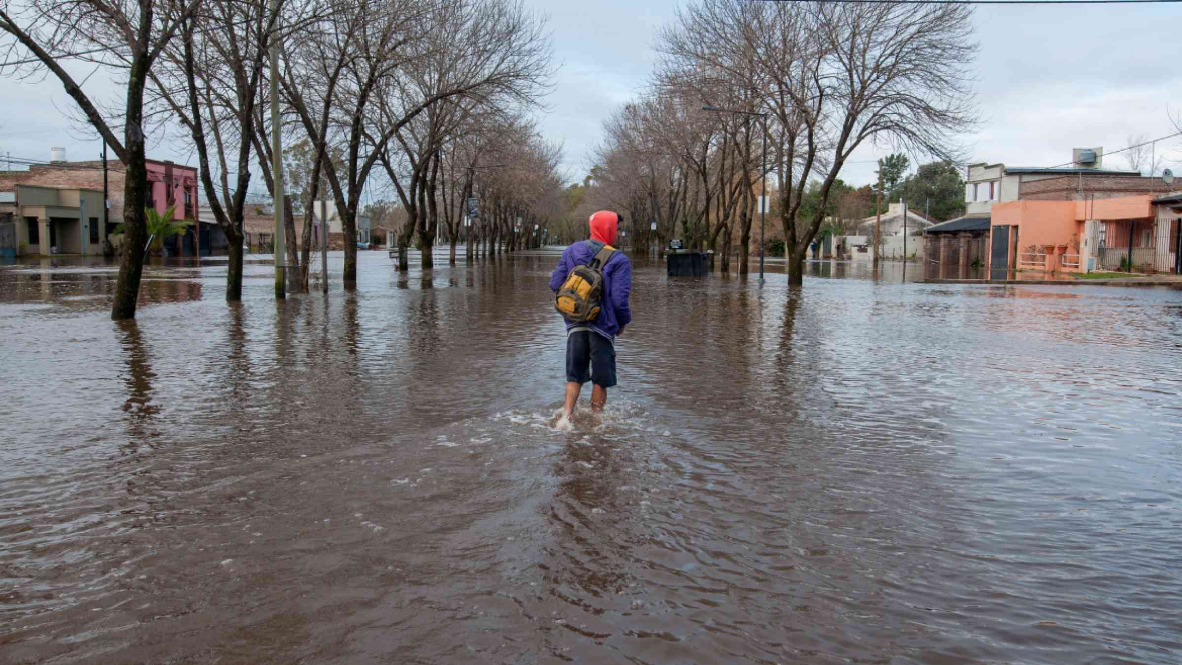
Climate change increases frequency of extreme events such as flooding. This reinforces the need to develop methods for more precise and faster flood forecasting in order to better protect the population in the future. A research team from the Helmholtz Centre for Environmental Research (UFZ) and the German Research Centre for Geosciences (GFZ) has presented a flood forecasting system in Nature Communications that provides not only timely water levels but also dynamic high-resolution flood inundation maps. The researchers have been able to combine various forecasting models in such a way as to precisely forecast flood impacts on individual buildings.
Over the past years, great progress has been made in the spatiotemporal forecasting of flood events. It is thus now possible to predict maximum flood levels at locations of river gauges. Until now, however, estimates of the impacts of flooding on cities and municipalities were only rough or even completely inaccurate, especially for people at the lower river reaches away from gauge locations. However, this information is critical, as the affected population has to be notified as quickly as possible in advance in order to initiate any necessary evacuation measures. "What is needed is a state-of-the-art early flood warning system that provides high-resolution flood forecasts in a timely fashion and indicates the impacts of the flood on individual buildings," says senior author and UFZ modeller Prof. Luis Samaniego. This would be a key improvement for crisis management.
In a first step in developing the new flood forecasting system, the researchers from the two Helmholtz Centres combined the precipitation forecasts from the German Weather Service (NWP limited area ensemble prediction system) with the mesoscale hydrologic model (mHM) developed at the UFZ. This model not only provides information on water discharge, but also temporal soil moisture information - one of the critical factors for flood development. Based on the available data from the catastrophic flood in the Ahr Valley in July 2021 and an ensemble prediction system with 20 members, they were able to predict hourly flood peak flows at gauge Altenahr in a hindcast mode. In this approach they estimated the likelihood of exceedance of the 50-year or the 100-year flood levels. Simulations revealed that 15 percent of the ensemble member would have forecast an exceedance of a 100-year flood with a lead time of 47 hours and thus nearly two days prior to the flood peak in the Ahr Valley. The closer the event came, the greater the probability that the 100-year level defined at that time would actually be exceeded: 75 percent of all ensemble members forecast the 100-year flood 17 hours before the flood peak, and finally 100 percent 7 hours in advance. "If 75 percent of the forecasts in an ensemble predict a 100-year flood, there is a high probability that it will occur," says lead author and UFZ modeller Dr. Husain Najafi.
In the second step, the Helmholtz researchers combined the streamflow generated by mHM hydrologic model with the RIM2D hydrodynamic flood model developed by the GFZ Potsdam. RIM2D very rapidly simulates the inundation dynamics and the evolution of flood depths. This model, with a spatial resolution of 10 metres x 10 metres, first enables hourly forecasts inundation areas and depths and hence allows to find out in which locations and to what extent which buildings, streets, railway segments, hospitals or other critical infrastructure elements will be affected by a flooding event. "The responsible authorities and the population therefore not only have information on a possible gauge water level 30 kilometres upstream, but also a high-resolution flood map showing the impacts of the flood. For example, they could know where people could be in danger or who has to be evacuated," says GFZ hydrologist Dr. Sergiy Vorogushyn.
The combined forecast model from the UFZ and GFZ passed the first test in reconstructing the extreme flood event in the Ahr Valley. In a further test phase starting this summer, the automated model chain will be tested in real time as part of the second phase of the Helmholtz Climate Initiative in two additional catchments of Fils and Murr rivers in Baden-Württemberg. If the model system also passes this phase, it can be applied for regions subject to high flood risk, especially due to flash floods. This could decisively strengthen the existing flood early warning systems and could extend the horizon of the forecasts to include flood impacts. This could significantly reduce affected population and property damage in the future.