Please help us improve PreventionWeb by taking this brief survey. Your input will allow us to better serve the needs of the DRR community.
Lutheran World Relief launches partnership with NASA project
By Gary Fields
Lutheran World Relief is helping make NASA’s satellite imagery more meaningful. No, we haven’t become aerospace experts. It’s our work here on Earth that is making the difference.
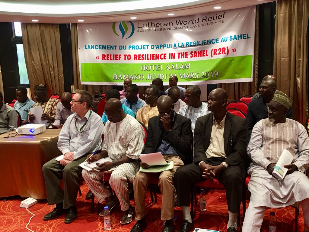
We’re partnering with NASA Harvest to bring valuable satellite imagery data to small-plot farmers in Mali, where insufficient rainfall in 2017 and 2018 led to failed harvests and spikes in the prices of staple cereals and left up many families without enough food to meet their daily needs.
Commissioned by NASA and led by the Geographical Sciences Department at the University of Maryland, the mission of NASA Harvest is to enhance the use of satellite data in decision-making related to food security and agriculture. NASA Harvest is working with governments across the globe to help them learn to use the data.
Lutheran World Relief is working with NASA Harvest in Mali to gather valuable on-the-ground information about crop conditions so that relevant government agencies can better interpret satellite imagery and advise farmers about potential challenges.
Satellite imagery is extremely valuable to healthy agriculture
The more information that farmers and governments have about conditions on Earth, the better. `Satellite imagery allows governments and decision makers to view and monitor crop conditions across large swaths of land. This information can help farmers prepare for and react to weather disasters — like droughts and floods — and, ultimately, improve production and profitability. Governments can also help predict an entire region's agricultural output, including anticipating crop shortages, critical information for mitigating the effects of food shortages and avoiding famine.
But satellite imagery is not without limitations. Images begin as squares of colors that represent different crops and crop conditions, but without a key to know which color is which crop, the images are useless.
Our on-the-ground expertise creates more robust and useful data
This is where Lutheran World Relief’s expertise enters the picture. Our agriculture extension agents collect real time information about land and crop conditions. The agents collect that data through dedicated apps on smart phones and tablets and send it to government ministries. This on-the-ground information-gathering helps create the key that local ministries, who receive training from the NASA Harvest team, use to make important decisions about crop management and share that information with local farmers.
University of Maryland’s Dr. Catherine Nakalembe, the NASA Harvest East Africa lead, says the imagery and the ground-level farm data allow analysts to see where crops are doing better or worse historically. She said the information also can help when the satellite images alone indicate crops are doing fine but there are problems present, like pests.
Governments with monitoring capabilities can advise small-holder farmers about growing conditions, anticipate potential difficulties and position food supplies in areas where food-shortage emergencies are likely to happen before they do.
Strengthening early warning systems in Mali
In Mali, Lutheran World Relief is using the satellite imagery to strengthen early warning systems that help rural communities access climate data and predict future droughts, so they are better able to prepare for planting seasons. It’s part of a larger effort — funded by the Bill & Melinda Gates Foundation — to help families recover from losses to crops and herds and support their capacity to withstand future crises.
This latest project deepens Lutheran World Relief’s relationship with the University of Maryland and its work with NASA satellite imagery. We began working with the University in 2017 in Tanzania and Uganda.
“We have tools that can help us be ahead of the game. Most of the time the government is responding after the crisis has hit,” said Bijou Kuzimbu, Lutheran World Relief regional program manager for Africa. “With these tools we can better predict when the crisis is going to happen and how to best use the resources we have. It is very exciting.”
Explore further
Please note: Content is displayed as last posted by a PreventionWeb community member or editor. The views expressed therein are not necessarily those of UNDRR, PreventionWeb, or its sponsors. See our terms of use
Is this page useful?
Yes No Report an issue on this pageThank you. If you have 2 minutes, we would benefit from additional feedback (link opens in a new window).