Asia: USAID and NASA today launched 'SERVIR-Mekong'
Bangkok — The United States Agency for International Development (USAID) and the U.S. National Aeronautics and Space Administration (NASA) today launched “SERVIR-Mekong,” a project to promote the use of satellite imagery to help Asia’s Lower Mekong region better predict and cope with floods and other natural disasters and increase resilience to the negative effects of climate change.
SERVIR-Mekong, funded by USAID and NASA and implemented by the Asian Disaster Preparedness Center and its partners, will help governments and other decision-makers in Burma, Cambodia, Laos, Thailand and Vietnam take advantage of publicly available satellite imagery, geospatial data and maps to make more informed decisions on critical issues such as water management, land use planning, disaster risk reduction, infrastructure development and natural resources management.
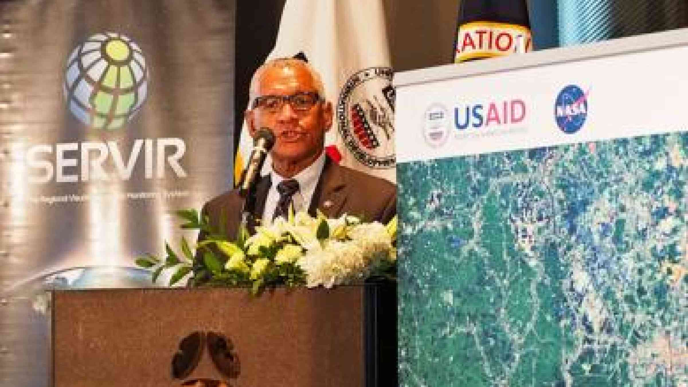
"It's an honor to welcome into the SERVIR community one of the most exciting, progressive, vital regions of the planet," said NASA Administrator Charles Bolden, who took part in the facility's official opening today along with NASA Chief Scientist Dr. Ellen Stofan and other agency representatives.
"Today NASA demonstrates the human impact of its science mission here on Earth, and our commitment to protecting the resources, the environment and most of all the millions of people living, working and raising new generations of pioneers and innovators across the region," Bolden said.
“Under SERVIR-Mekong, we are tapping into the best available science and technology to help protect this region’s vital ecosystems and the benefits they provide to society,” said Beth Paige, director of USAID’s Regional Development Mission for Asia. “Already, Asian scientists, NASA scientists and others are beginning to develop tools to build resilience and contribute to tackling some of the region's most pressing challenges.”
SERVIR-Mekong promotes collaboration between technical institutions in the region and develops analytical tools. SERVIR-Mekong is about to launch a call for proposals from environmental planning agencies and other institutions seeking technical support to better inform development decisions.
SERVIR-Mekong and its partners are also developing a mapping tool so that anyone with Internet access can view the extent of flooding in real time. This tool and others will be available on the SERVIR-Mekong portal launched today via the url in the related links below.
SERVIR-Mekong is one of three regional SERVIR hubs. SERVIR connects USAID’s development network in data-poor environments with NASA’s science, technology and extensive satellite data.
Together with leading regional organizations in Africa, Asia and Latin America, SERVIR has developed 43 climate change adaptation and mitigation products to provide information, tools and training to more than 2,000 people in 30 countries.
More information on SERVIR-Mekong is available on the portal and on SERVIR-Global via the url in the related links section.