Storm surge

A storm surge reflects the difference between the actual water level under the influence of a meteorological disturbance (storm tide) and the level which would have occurred in the absence of the meteorological disturbance (WMO, 2008, 2011, 2017).

A storm surge is the rise in seawater level caused solely by a storm. It is the abnormal rise in seawater level during a strom, measures as the height of the water above the normal predicted astronomical tide. The surge is caused primarily by a storm's winds pushing water onshore.

Storm surge should not be confused with storm tide. A storm tide is the water level that results from the combination of the storm surge and the normal (astronomical tide).

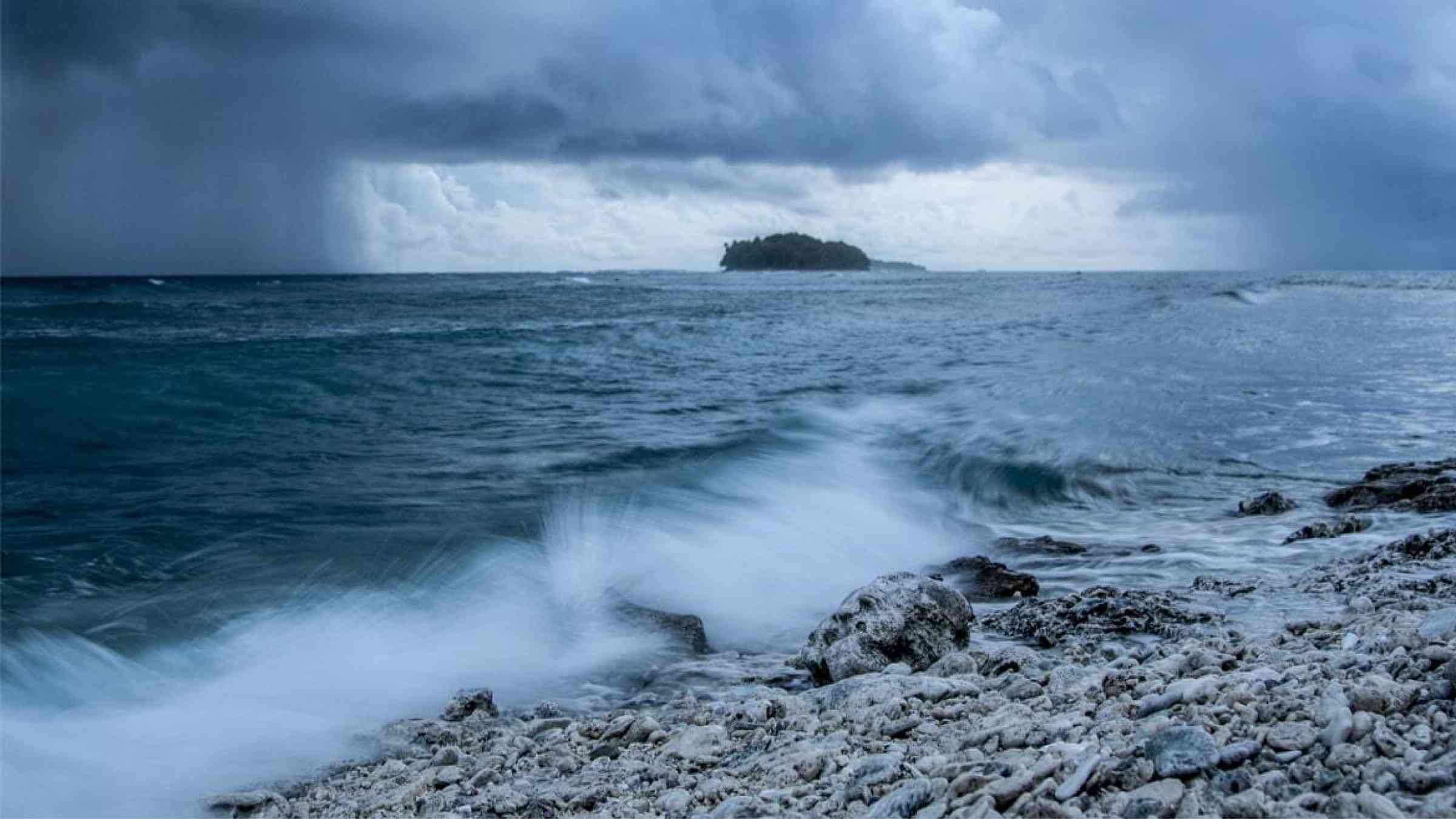
This rise in water level can cause extreme flooding in coastal areas, resulting from storm tides reaching up to 6 meters (20 feet) or more in some cases (NOAA, 2019b.) On top of a strom tide are pounding waves generated by the powerful winds. The area of seawater flooding may extend along the coast for over 100 km, with water pushing several kilometres inland if the land is low lying. The combined effects of the storm tide and surface waves can destroy buildings, wash away roads and run ships aground (Australian Government, 2020).

Examples of National Alerting Parameters include storm surge warning issued in Canada (Government of Canada, 2019) and an Advisory for storm surge watch/warning issued by the World Meteorological Organization (WMO, 2017).

Latest Storm surge additions in the Knowledge Base

Cover
This paper presents a community-centred framework named ‘site-specific early warning system’ (SS-EWS) to co-design and co-evaluate with communities an impact-based warnings (IBEWS) for vulnerable locations within high-risk areas.
View from a beach in Palau as a storm approaches
With funding from USAID’s Bureau of Humanitarian Assistance (BHA), the two-year IMPACT project of USD 885,000 will work at the state and national levels to support preparedness plans and facilitate and inform national level planning and response efforts.
International Organization for Migration
Australians along the east cost are bracing for yet another round of heavy rainfall this weekend, after a band of stormy weather soaked most of the continent this week.
Conversation Media Group, the
This article shows the real-time sea level forecasts of the modelling system named S-WITCH for the case of the Ian Hurricane hitting the Georgia coasts.
Centro Euro-Mediterraneo sui Cambiamenti Climatici
Sand storm hitting the city of Basra in Iraq, 2022
The Iranian Department of Environment (DOE) will kick off negotiations with Iraq and Syria to launch an action plan for fighting sand and dust storms in the region.
Tehran Times, the
A new classification of the world’s coastlines has been released, to improve coastal climate change adaptation at local, regional and national level and strengthen coordinated climate action worldwide.
Deltares
Extreme weather events are becoming more frequent and intense, sometimes with tragic consequences. Europe's coastal cities are preparing to meet the challenges with help from nature and data from outer space.
European Commission
Cover and title of publication
The guide, produced thanks to the cooperation of 51 institutions from 18 countries worldwide – among which the CMCC Foundation – promotes the development of new marine forecasting systems around the globe, along with the improvement of the existing ones.
Bookshelves in a library.
Explore the Knowledge Base
Explore the latest on disaster risk and resilience from around the world: news, research, policies and publications.

Is this page useful?

Yes No Report an issue on this page

Thank you. If you have 2 minutes, we would benefit from additional feedback (link opens in a new window).