Landslide

Landslide is the downslope movement of soil, rock and organic materials under the effects of gravity, which occurs when the gravitational driving forces exceed the frictional resistance of the material resisting on the slope. Landslides could be terrestrial or submarine (Varnes, 1978).

Landslides can be triggered by geological and physical causes such as glacier or snow melts, heavy rains and water pressure, earthquakes, volcanic eruptions and overly steep slopes. Landslides can also be triggered by human action, the most common being building on unstable slopes. Submarine landslides, or massive slides and rock falls hitting the sea can also cause tsunamis.

Landslides can reach speeds of over 50 km/h and can bury, crush or carry away people, objects and buildings. Landslides cannot be predicted but warning systems measuring rainfall levels can provide warning to people living in landslide-prone areas.

Instrumental monitoring to detect movement and the rate of movement can be implemented, for example, extensometers, global positioning system (GPS), seismometers, aerial photography, satellite images, LiDaR (Highland and Bobrowsky, 2008) with varying degrees of success. Increasingly, the science of landslide physics is allowing the nature of these hazards to be understood, which is leading to better techniques through which they can be managed and mitigated (HIP).

Risk factors

  • Population growth
  • Rapid urbanization
  • Environmental degradation (deforestation and inappropriate use of lands and slopes)
  • High population density, heavy rainfall and rapid land use changes increase the instability of slopes

Risk reduction measures

  • Early warning systems to observe and alert before landslides happen
  • Hazard maps to identify landslides risk and vulnerabilities
  • Integrate landslide risk assessment into urban planning strategies
  • Building codes and standards for materials that reinforce landslide resilience
  • Improve drainage, building tunnels and trenches to stabilize slopes
  • Protect forest cover and regulate logging
  • Raise awareness of landslide risk
  • Regular drills and community evacuation exercises
  • Establish national, regional, and local evacuation plans

Latest Land Slide additions in the Knowledge Base

The city of Santiago in Chile, with the Andes in the background
Researchers from INRAE, Universidad del Desarrollo (Chile), University of Geneva and University of Grenoble developed a new method to assess the risk associated with rockfalls in the mountains, taking into account various triggering factors.
National Research Institute for Agriculture, Food and Environment
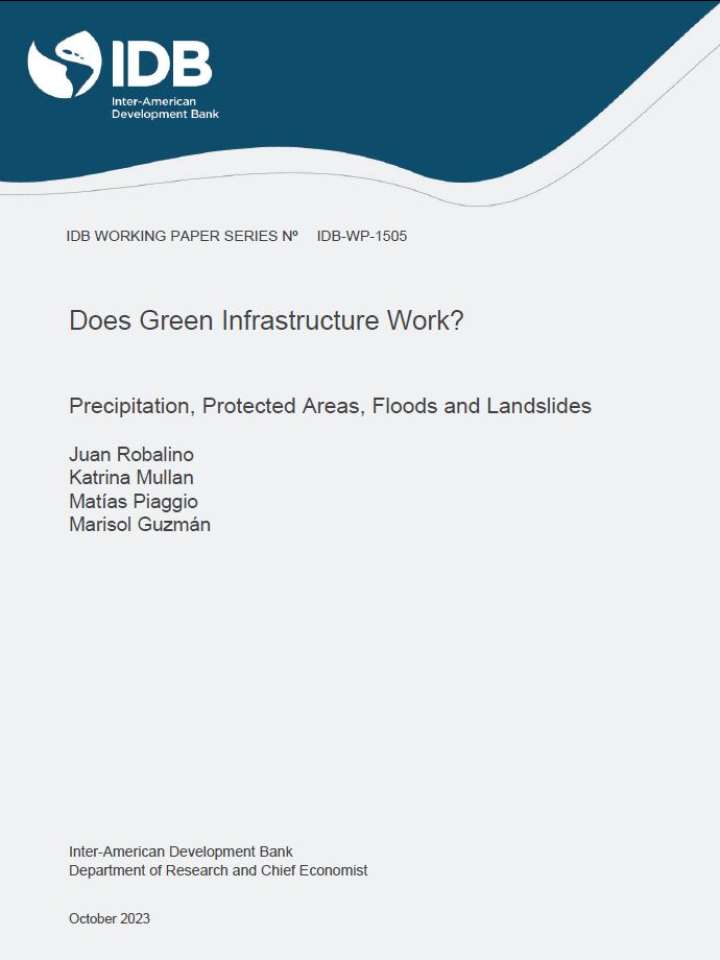
Cover_IDB
This report evaluates whether floods and landslides are more likely when rain falls inside versus outside protected areas (PAs).
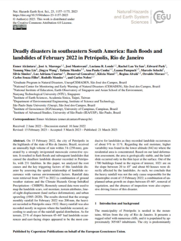
Cover and source: Natural Hazards and Earth System Sciences
This paper analyzes the root causes and the key triggering factors of the 2022 Petrópolis landslide disaster in Rio de Janeiro state, Brazil by assessing the spatial relationship of landslide occurrence with various environmental factors.
A new study has uncovered a trend of increased short-duration extreme precipitation over mountainous regions under global warming in Southwest China. Short-duration extreme precipitation events can lead to flash floods and landslides.
Chinese Academy of Sciences
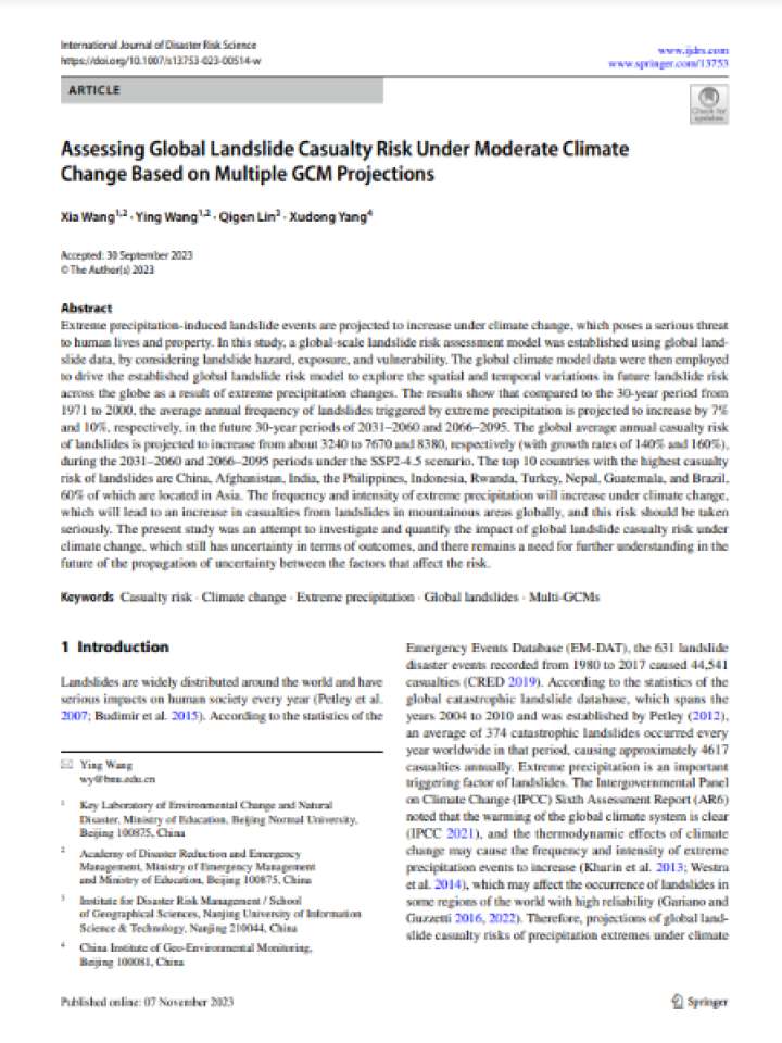
Cover and source: International Journal of Disaster Risk Science
This study establishes a global-scale landslide risk assessment model using global landslide data to explore the spatial and temporal variations in future landslide risk across the globe as a result of extreme precipitation changes.
As the climate warms, the increase in the occurrence of disasters in the high Andean regions and the alteration of water availability are the challenges that most worry the communities in the upper part of the Cordillera.
Inter-American Development Bank (IDB)
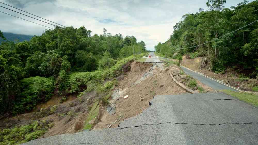
Landslide-affected road
We have witnessed a growing number of geological disasters due to climatic shifts. One such disaster is the landslide, and this can be attributed to intense rainfall coupled with high slope angles in areas previously not expected to be susceptible.
European Geosciences Union
Communities worldwide now have access to a powerful tool to increase their awareness of landslide hazards, thanks to NASA and the Pacific Disaster Center.
National Aeronautics and Space Administration

Is this page useful?

Yes No Report an issue on this page

Thank you. If you have 2 minutes, we would benefit from additional feedback (link opens in a new window).