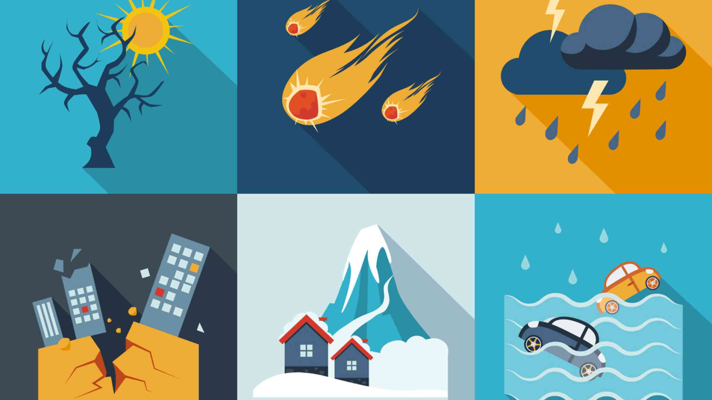
Heatwave
A heatwave is a marked warming of the air, or the invasion of very warm air, over a large area; it usually lasts from a few days to a few weeks (WMO, 1992).
Heatwaves vary according to the location of a particular region and the time of year and there is no universal way of defining or measuring heatwaves. Heatwaves can exacerbate urban air pollution which can affect the elderly, pregnant women and children. The heat stress burden is dependent on local climate and a humidifying effect can erase the cooling benefits that would come from trees and vegetation. Consequently, in humid climates humans can adapt to a lower temperature than previously thought.
The impacts of heatwaves can be very catastrophic as we saw in parts of Europe from May to September 2022, where there were over 60,000 “excess deaths” – the number beyond what would have been expected under “normal” conditions based on historical data (Nature, 2023).– Europe was also badly affected by high and unusual temperatures in the summer of 2003 leading to health crises in several European countries and the occurrence of 70,000 “excess deaths” mostly seniors (Robine et al. 2008). One challenge with heatwaves is that we don’t know how much of the mortality data is due to heat. People might go to hospitals because of a work-related injury or a heart attack, but these will not count as heatwave incidents. It’s important to measure temperature-related deaths accurately and consistently
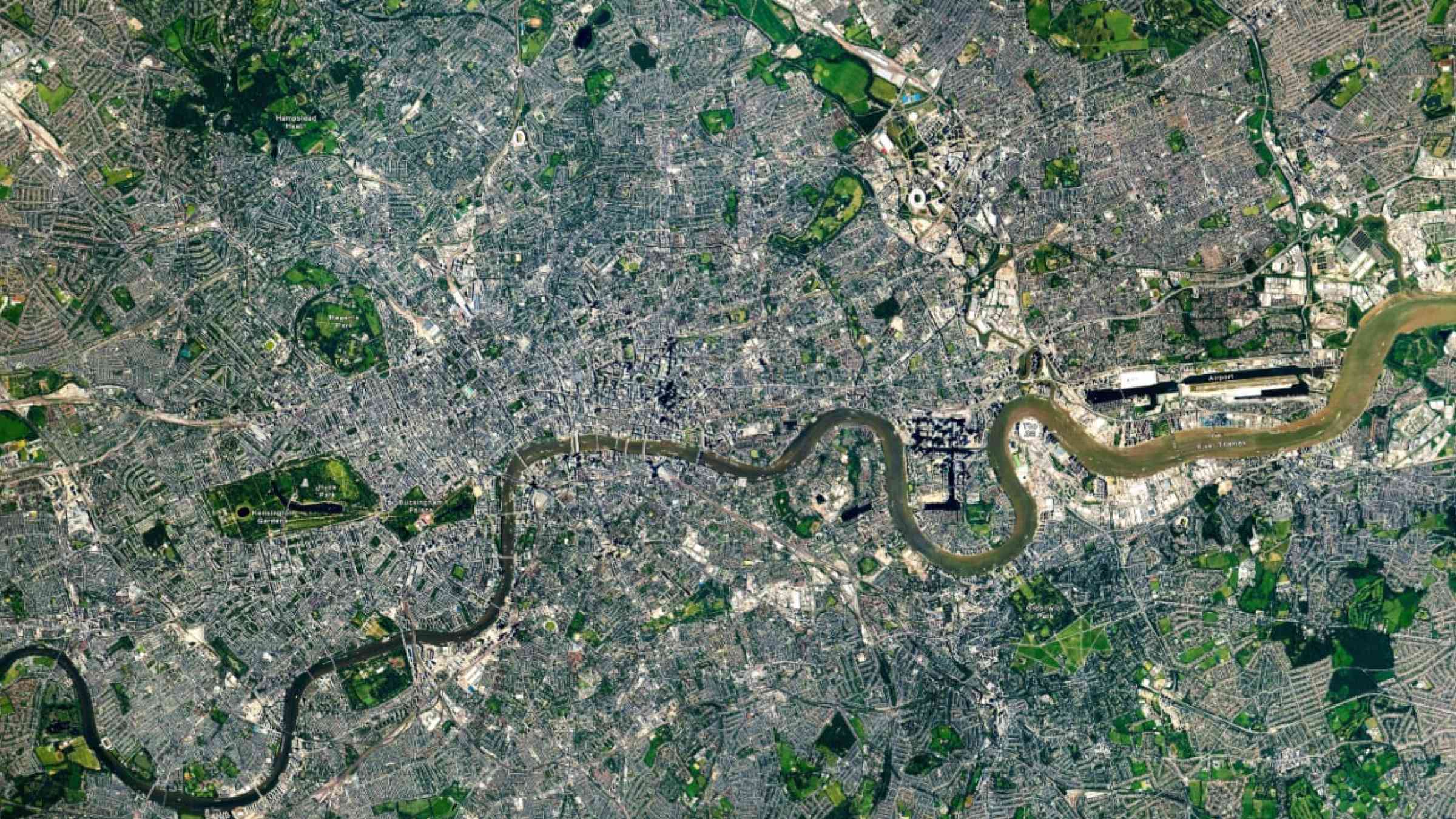
Urban heat islands (UHI) occur when human activity and construction create higher temperatures in urban areas than the surrounding landscape. Consideration of night-time temperatures and urban heat island effects is important for determining appropriate thresholds for heatwave advisories.
Heatwaves interact with and amplify the impacts, magnitude, and severity of other hazards such as wildfire, drought, cyclones, urban heat islands, and hazardous air quality. A multi-hazard risk management approach is therefore recommended for heatwaves, including early warning systems and planning. In urban areas, consideration of night-time temperatures and urban heat island effects is important to determining appropriate thresholds for heatwave advisories. Essential components of health impact-orientated warning systems and early action for heatwaves, include assessments of heatwaves and health impacts, definitions and methodologies, communication of warnings, intervention strategies, and longer-term planning perspectives for managing heatwave events (WMO and WHO, 2015).
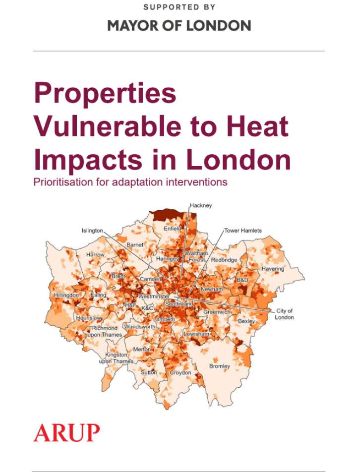
Vulnerable areas
- Regions that are more susceptible to heat waves: inland deserts, semi-deserts and Mediterranean-type climates.
- Urban areas: higher temperatures during the summer due to buildings, roads, and other infrastructures absorbing solar energy.
- Heat waves disproportionately impact the health of people who are elderly from those who are young.
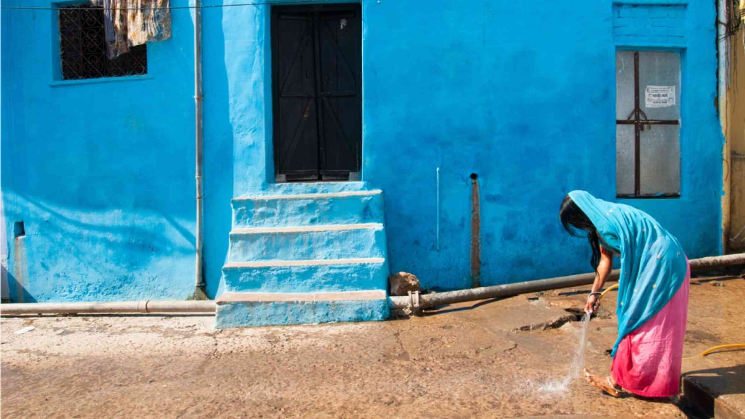
- Heat can also affect underprivileged social groups and poor people. For instance, people living in densely built, low-income neighbourhoods, with no open green spaces and lack of air conditioning.
Risk reduction measures
- Early warning systems.
- Establishing cooling centres.
- Structural measures: air conditioning and cooling systems.
- Heatwave risk assessment integrated into urban planning and health management policies.
- Raise community awareness, build the the preparedness of the most vulnerable, and incorporate education on heatwaves wherever possible.
- Protect animals.
- Create green corridors.
- Use reflective cool roofs and pavements.