Please help us improve PreventionWeb by taking this brief survey. Your input will allow us to better serve the needs of the DRR community.
Mapping dengue fever hazard with machine learning
Researchers develop a predictive software system to identify city-specific, dengue fever risk areas amid a global increase in cases.
By Tim Hornyak
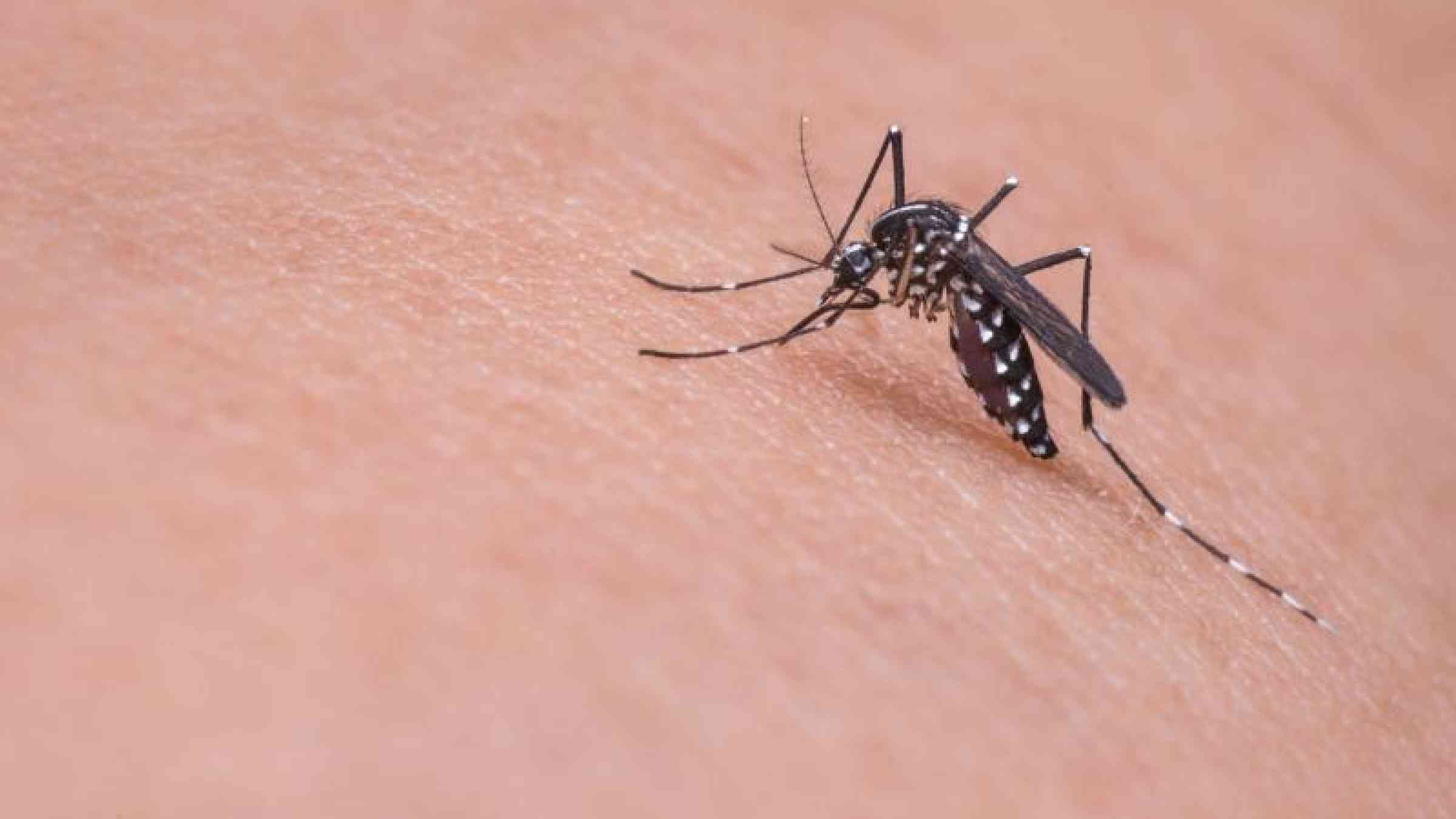
Dengue fever, usually seen in tropical and subtropical climates, has spread rapidly around the globe, and now about half the world’s population is at risk, according to the World Health Organization. Mosquitos transmit the four types of viruses that cause this painful, potentially deadly flu-like illness. Since mosquitoes breed in pools of water, researchers in East Asia are deploying new software tools to analyze how flooding can heighten dengue hazards in cities.
After a heavy rain, pools of water collecting in urban debris like this discarded toilet make ideal breeding grounds for the mosquitoes that carry dengue fever viruses. Credit: Kozo Watanabe
The effect of climate change on urban flooding is one hypothesis that’s been floated to explain the surge of dengue cases, explained Kozo Watanabe, head of the Molecular Ecology and Health Laboratory at Japan’s Ehime University. He spoke at a session on geohealth at a joint conference of the Japan Geoscience Union and the American Geophysical Union in Chiba, Japan, late last month. During his presentation, Watanabe showed slides that included an illustration of a discarded tire full of water from a recent flood, depicting an ideal breeding site for Aedes aegypti and Aedes albopictus mosquitoes, which are dengue vectors in the Philippines and Indonesia.
Watanabe has not found definitive evidence of a connection between climate change and an increase in dengue cases, but he and his colleagues strongly suspect the two trends are related. They have been working to shed light on the situation by studying dengue outbreaks and flooding in Manila, the worst dengue hot spot in the Philippines. Because of inadequate drainage, flooding is common in the city during regular rain showers as well as during typhoons.
Rains Trigger Delayed and Shifting Disease Risk
Watanabe and his collaborators from the University of Tokyo, De La Salle University in the Philippines, and Padjadjaran University in Indonesia looked for correlations between the number of Manila dengue cases from 2009 to 2014 and weather data, such as weekly rainfall and maximum temperature, and the Southern Oscillation Index (SOI), a numerical indicator of surface air circulation that signifies the intensity of Pacific Ocean episodes of El Niño or La Niña. Sustained values below −7 indicate El Niño, whereas sustained values above +7 indicate La Niña.
They found that dengue risk was higher 2 and 10 weeks after high rainfall, which coincided with biting activity of the first generation of mosquitoes and the maturity of a second generation. However, changes in weather conditions can shift this lag time. They also found that there were more dengue cases when La Niña was in effect.
“Under a positive SOI, Southeast Asia has stronger rainfall events and then increased dengue cases, immediately or 6 weeks after the observed high SOI,” Watanabe said.
Hot Spots Predicted
The team also looked at where dengue was most common among the 604 municipalities in Metro Manila. They constructed a software model that uses established machine learning methods to gauge dengue risk. In that approach, computers investigate connections between data sets without undergoing traditional, step-by-step programming to solve complex equations about those connections. Instead, starting with a simple, internal model of the connections, say, between rainfall or land use at a location in Manila and the incidence of dengue fever there, the computer learns over many iterations how to fine-tune its model to predict dengue occurrence from local conditions with increasing accuracy. The research team came up with projections of the number of dengue cases per 1000 people at locations throughout the city on the basis of the types of land use (such as high-density residential) and variables related to flooding risk.
The algorithms produced a dengue risk map of Manila, with higher-risk areas in deepening shades of red. The risk map compared well with actual observed results, Watanabe said. However, very high flood hazards were not associated with higher dengue risk, suggesting that strong currents flush away mosquito eggs and larvae.
“Based on our initial findings using machine learning methods, land use types and flood hazards were found to be good predictors in determining the spatial dengue incidence of Metro Manila,” Watanabe told Eos. “Our next step is to incorporate climatic variables into our current model.”
The researchers plan next to develop scenarios of how cities might use their data on land use and flooding to predict dengue incidence in their jurisdictions and to come up with countermeasures in advance to help them be more resilient.
Adapting at a Fine Scale
Watanabe’s team has submitted their research results for publication, and they plan to work with the Philippine government to mitigate the effects of climate change and dengue transmission, he said. He added that the machine learning system would give officials evidence-based grounds for health and environmental policy making.
“Most of the similar studies that try to link climate variables and dengue have a national or regional scale,” Watanabe said. “But if we can find local environmental factors in determining local dengue risk, we can use this for specific adaptation strategies such as urban drainage systems or dam construction. This is our starting point to consider fine spatial scale studies.”
Fumiko Kasuga said she expects that such models, in combination with traditional measures such as mosquito eradication and hygiene improvement, will reduce dengue outbreaks. Kasuga is the global hub director for Japan at Future Earth, a 10-year sustainability program launched in 2015, and she was a fellow speaker at the geohealth session. She also called for holistic understanding of problems at the intersection of climate and health.
“Scientists cannot have such holistic views if they work only in silos of disciplines and without collaboration with professionals in society,” Kasuga told Eos.
Explore further
Please note: Content is displayed as last posted by a PreventionWeb community member or editor. The views expressed therein are not necessarily those of UNDRR, PreventionWeb, or its sponsors. See our terms of use
Is this page useful?
Yes No Report an issue on this pageThank you. If you have 2 minutes, we would benefit from additional feedback (link opens in a new window).