Please help us improve PreventionWeb by taking this brief survey. Your input will allow us to better serve the needs of the DRR community.
Europe: New technologies for civil protection - PPRD South
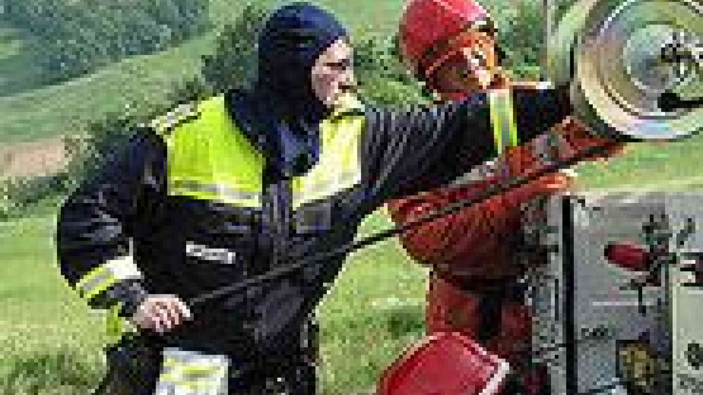
Photo by Flickr user, Roby Ferrari, Creative Commons Attribution-NonCommercial-ShareAlike 2.0 Generic (CC BY-NC-SA 2.0) http://www.flickr.com/photos/dileepan/522872531/
Programme on Prevention, Preparedness and Response to Natural and Man-made Disasters (PPRD-South) press release
Bringing technological advancements to the attention of the 14 PPRD South Partner Countries is the main objective of the workshop and simulation exercise organized by the EU-funded Programme on Prevention, Preparedness and Response to Natural and Man-made Disasters (PPRD South) in Aix-en-Provence, France from 30 May to 2 June 2011. 25 civil protection emergency management officers from the national civil protection authorities of the 14 Mediterranean and Balkan Programme partner countries will gather with the aim to review how new technologies and tools can enhance disaster management capacities and support decision-making during emergencies.
Recent progress in the fields of information management and telecommunications in the Euro-Mediterranean region have greatly improved quality and promptness of crisis information available to the civil protection officers in charge of emergency management and to the teams in the field. Once an emergency is triggered, it is now possible to rapidly and continuously collect information on the territory and the population affected, to display it on a map, identify the priorities for action, organise assistance operations - such as evacuation of the population, provision of medical services, drinking water and food - and to effectively transmit instructions to the teams in the field. New technologies can improve coordination and effectiveness of operations.
New technologies also allow to develop the preparedness of national civil protection authorities to respond to possible crisis. Emergency simulators have been developed by European research centres to train civil protection commanders to face any kind of complex situation during a crisis.
During the workshop, the contribution of Geographical Information Systems during humanitarian crises, natural disasters, and manmade emergency situations will be illustrated together with the benefits of satellite earth observations services. Participants will experience the use of crisis simulators and will visit the training centre and the command and control room of the Fire Fighters Service of the Bouche du Rhone region which receives around 1600 emergency calls per day and makes more than 115,000 interventions per year.
The aim of the 4-day workshop is to help the participants become familiar with a full set of new technological tools and be able to compare them with the current practices and tools in use in their respective country to support emergency management. They will be capable to assess improvements needed in their national civil protection systems and identify possible solutions.
Explore further
Please note: Content is displayed as last posted by a PreventionWeb community member or editor. The views expressed therein are not necessarily those of UNDRR, PreventionWeb, or its sponsors. See our terms of use
Is this page useful?
Yes No Report an issue on this pageThank you. If you have 2 minutes, we would benefit from additional feedback (link opens in a new window).