Please help us improve PreventionWeb by taking this brief survey. Your input will allow us to better serve the needs of the DRR community.
Niger develops a national database on floods
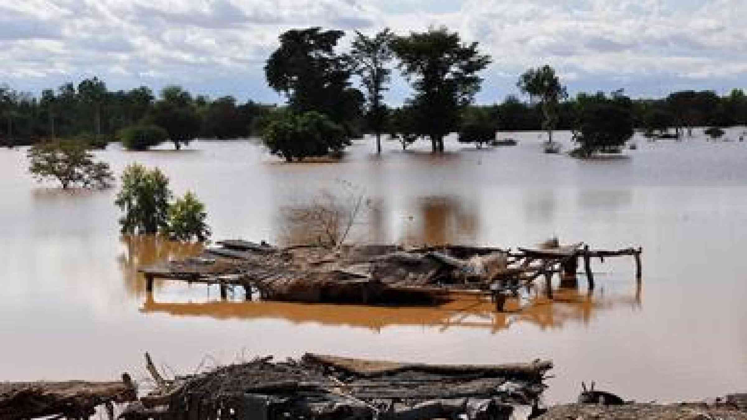
photo by Oxfam International -The river Niger exceeds its banks - https://www.flickr.com/photos/oxfam/8006491156 -CC BY-NC-ND 2.0
Through the implementation of the Hyogo Framework for Action, the National Mechanism for Prevention and Management of Food Crises and Disasters has developed a database on floods thanks to the financial support of the Italian Cooperation and the collaboration between the Institute of Biometeorology of the National Research Council of Italy, the Polytechnic University of Turin and the National Meteorological Service of Niger.
The initiative "Adaptation to climate change, disaster prevention and Agricultural Development for Food Security" (ANADIA Niger) is financed by the Italian Cooperation, the Institute of Biometeorology of the National Research Council of Italy, the Polytechnic University of Turin and the National Directorate of Meteorology of Niger and is realised in collaboration with the Coordination Unit of the Early Warning System and Disaster Prevention and the Directorate of Water Resources of Niger.
ANADIA Niger aims to develop methodologies and tools to assess flood risk, to support planning at different decision making levels, to increase the resilience of local communities and to develop a greater capacity for forecasting and response. In this context, the development of a floods database will contribute to a more effective decision-making in terms of assessment, prevention and risk reduction and a better understanding of the processes and impacts of flooding.
In Sub-Saharan Africa the impact of extreme events is more catastrophic than elsewhere because of the vulnerability of the populations who are the most exposed to natural disasters. Land degradation (deforestation and soil erosion), cultivation of marginal land, dependence of rainfed agriculture on climatic hazards increase the risk that extreme events can develop into natural disasters.
The creation of a nationwide database on floods represents a basic tool to backup, manage and capitalize historical flood data, to locate events and support flood risk assessment process.
For contacts and information:
M. Vieri Tarchiani, ANADIA Niger Project Coordinator, IBIMET-CNR, v.tarchiani@ibimet.cnr.it
M. Katiellou Gaptia Lawan, ANADIA Niger Project National Manager, DMN, katielloulaw@gmail.com
Mme Ousseini Mariama, Coordinator CC/SAP/PC, ousseinimariama@yahoo.fr
Explore further
Please note: Content is displayed as last posted by a PreventionWeb community member or editor. The views expressed therein are not necessarily those of UNDRR, PreventionWeb, or its sponsors. See our terms of use
Is this page useful?
Yes No Report an issue on this pageThank you. If you have 2 minutes, we would benefit from additional feedback (link opens in a new window).