Please help us improve PreventionWeb by taking this brief survey. Your input will allow us to better serve the needs of the DRR community.
India: GIS for better planning for Gujarat coastal areas
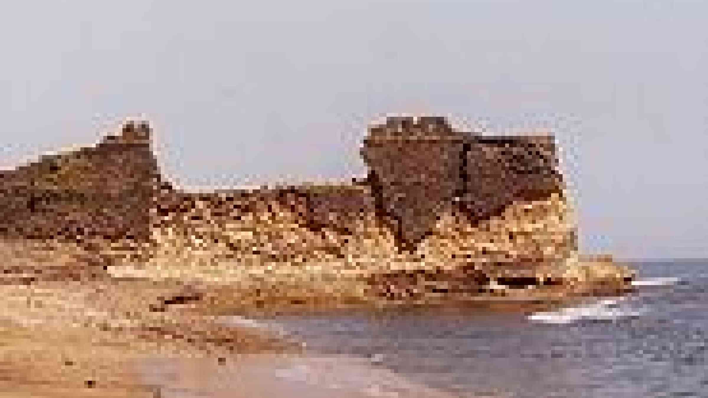
by Flickr user Jungle_Boy / Nick Leonard, Creative Commons BY-NC-SA 2.0, http://www.flickr.com/photos/jungle_boy/160140059/
For better management and planning of coastal areas and their resources, Gujarat government is implementing a Geo-Spatial Information System (GIS) development project, reports Zee News. "The GIS would help in better hazard-risk assessment and management for the coast," said A K Verma, member secretary, Gujarat Ecology Commission (GEC).
Explore further
Please note: Content is displayed as last posted by a PreventionWeb community member or editor. The views expressed therein are not necessarily those of UNDRR, PreventionWeb, or its sponsors. See our terms of use
Is this page useful?
Yes No Report an issue on this pageThank you. If you have 2 minutes, we would benefit from additional feedback (link opens in a new window).